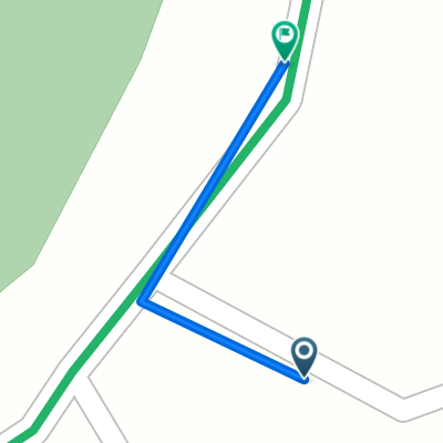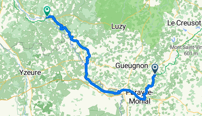

Route du plan d'eau to La Prise
- 99.9 km
- 185 m
- 273 m
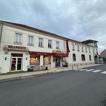
- Palinges, Bourgogne-Franche-Comté, France
A cycling route starting in Palinges, Bourgogne-Franche-Comté, France.
Overview
created this 5 months ago
Route quality
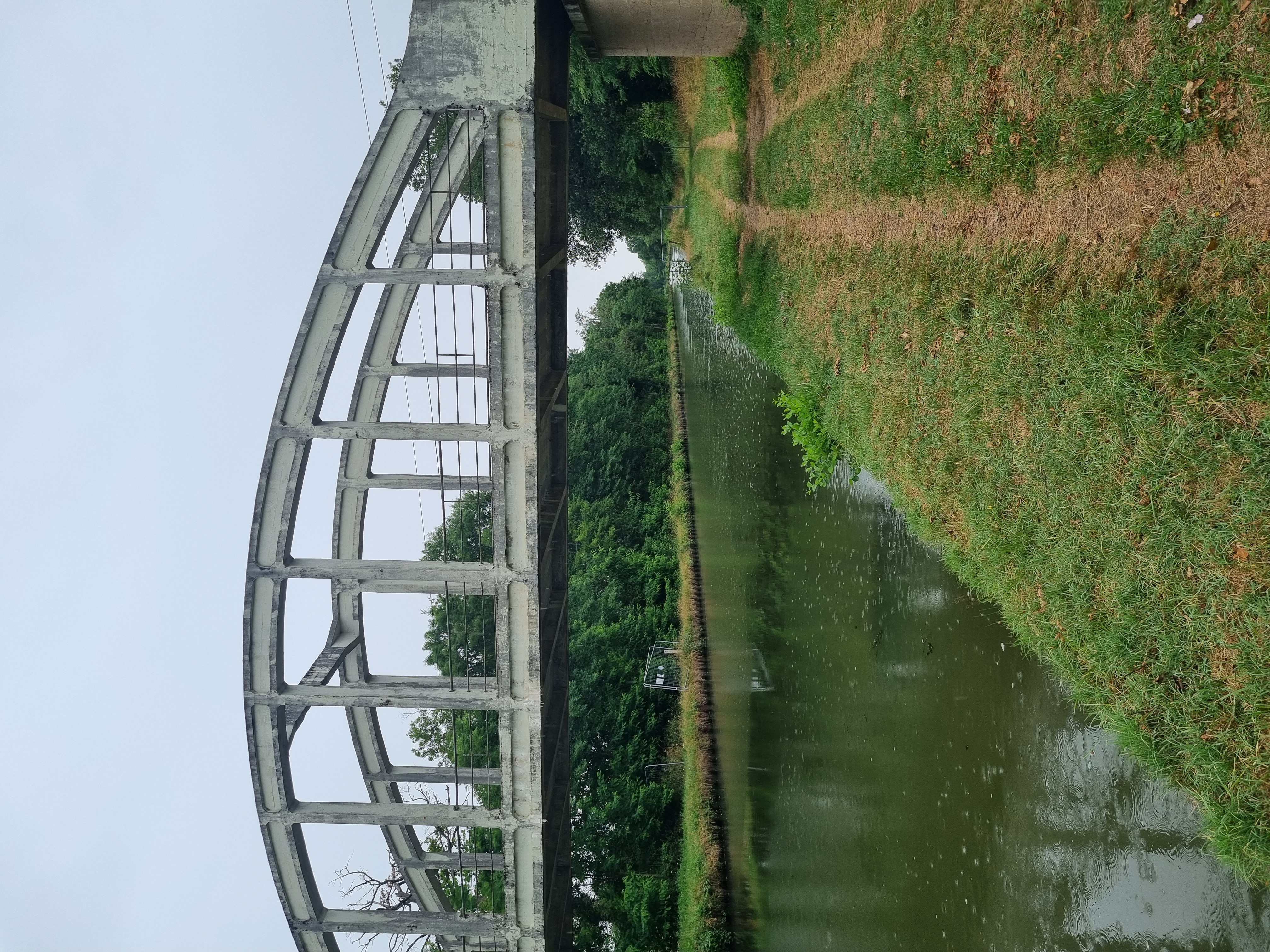
Quiet road
45.9 km
41 %
Path
42.5 km
38 %
Paved
61.6 km
(55 %)
Unpaved
1.1 km
(1 %)
Asphalt
57.1 km
51 %
Paved (undefined)
4.5 km
4 %
Continue with Bikemap
You would like to ride Palinges - Decize or customize it for your own trip? Here is what you can do with this Bikemap route:
Free trial for 3 days, or one-time payment. More about Bikemap Premium.
Discover more Premium features.
Get Bikemap PremiumFrom our community
Open it in the app