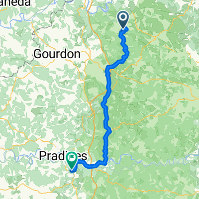
Rocamadour to Beaulieu-sur-Dordogne - V87
A cycling route starting in Gramat, Occitanie, France.
Overview
About this route
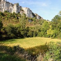
This is an exceptional route for bicycle touring. It gets you on to back roads with beautiful scenery and very few vehicles.
Some of the roads parallel to the Dordogne River are single lane country roads that are not so well maintained. So, some of the riding can be a little bumpy.
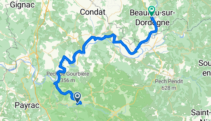
The entire route is paved. One short section of V87 was closed, which required a short detour.
- 4 h 31 min
- Duration
- 58.8 km
- Distance
- 444 m
- Ascent
- 523 m
- Descent
- 13 km/h
- Avg. speed
- 314 m
- Max. altitude
Route photos
Route quality
Waytypes & surfaces along the route
Waytypes
Road
20 km
(34 %)
Quiet road
19.4 km
(33 %)
Surfaces
Paved
21.2 km
(36 %)
Unpaved
0.6 km
(1 %)
Asphalt
21.2 km
(36 %)
Unpaved (undefined)
0.6 km
(1 %)
Undefined
37.1 km
(63 %)
Continue with Bikemap
Use, edit, or download this cycling route
You would like to ride Rocamadour to Beaulieu-sur-Dordogne - V87 or customize it for your own trip? Here is what you can do with this Bikemap route:
Free features
- Save this route as favorite or in collections
- Copy & plan your own version of this route
- Sync your route with Garmin or Wahoo
Premium features
Free trial for 3 days, or one-time payment. More about Bikemap Premium.
- Navigate this route on iOS & Android
- Export a GPX / KML file of this route
- Create your custom printout (try it for free)
- Download this route for offline navigation
Discover more Premium features.
Get Bikemap PremiumFrom our community
Other popular routes starting in Gramat
- Rocamadour to Gramat Station
- Distance
- 16.6 km
- Ascent
- 324 m
- Descent
- 260 m
- Location
- Gramat, Occitanie, France
- Boucle autour de Mayrinhac-Lentour
- Distance
- 10.4 km
- Ascent
- 309 m
- Descent
- 235 m
- Location
- Gramat, Occitanie, France
- Dordogne 20130711
- Distance
- 82.6 km
- Ascent
- 831 m
- Descent
- 1,025 m
- Location
- Gramat, Occitanie, France
- Rocamadour to Beaulieu-sur-Dordogne - V87
- Distance
- 58.8 km
- Ascent
- 444 m
- Descent
- 523 m
- Location
- Gramat, Occitanie, France
- ETAPE N°03
- Distance
- 68.9 km
- Ascent
- 512 m
- Descent
- 659 m
- Location
- Gramat, Occitanie, France
- Rignac - Rocamadour
- Distance
- 15.6 km
- Ascent
- 200 m
- Descent
- 173 m
- Location
- Gramat, Occitanie, France
- Chemin de la Jamonne 860, Carlucet nach D673, Rocamadour
- Distance
- 9.8 km
- Ascent
- 187 m
- Descent
- 340 m
- Location
- Gramat, Occitanie, France
- F.enV. day 3 2016 131km 1300m
- Distance
- 131.4 km
- Ascent
- 710 m
- Descent
- 927 m
- Location
- Gramat, Occitanie, France
Open it in the app