De Chemin de Saint-André 84, Porte-de-Savoie à Place Président Edouard Herriot 5, Aix-les-Bains
- 44 km
- 270 m
- 405 m
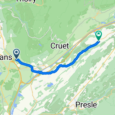
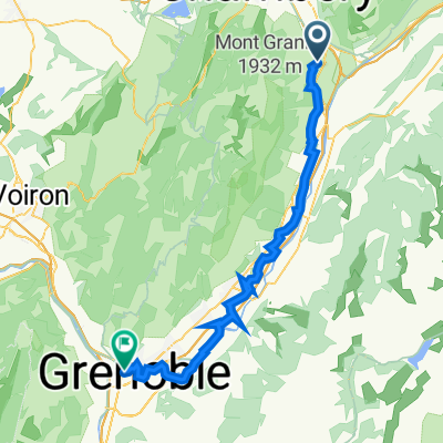
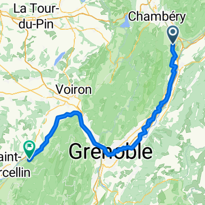
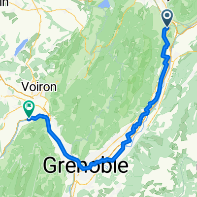
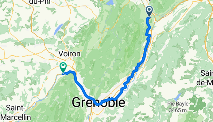
- Les Marches, Auvergne-Rhône-Alpes, France
D12 nach Plaça de Catalunya
A cycling route starting in Les Marches, Auvergne-Rhône-Alpes, France.
Overview
created this 8 months ago
Part of
12 stages
Route quality
Path
32.9 km
43 %
Quiet road
32.1 km
42 %
Paved
68 km
(89 %)
Unpaved
0.8 km
(1 %)
Asphalt
68 km
89 %
Gravel
0.8 km
1 %
Undefined
7.6 km
10 %
Continue with Bikemap
You would like to ride Les Marches - Saint-Quentin-sur-Isère or customize it for your own trip? Here is what you can do with this Bikemap route:
Free trial for 3 days, or one-time payment. More about Bikemap Premium.
Discover more Premium features.
Get Bikemap PremiumFrom our community
Open it in the app