
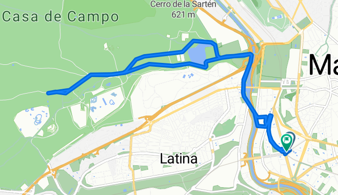
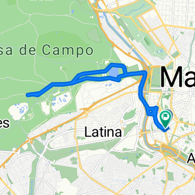
Calle de Santa Casilda, Madrid a Calle de Santa Casilda, Madrid
A cycling route starting in Madrid, Madrid, Spain.
Overview
About this route
- 51 min
- Duration
- 12.3 km
- Distance
- 104 m
- Ascent
- 103 m
- Descent
- 14.4 km/h
- Avg. speed
- 627 m
- Max. altitude
Route quality
Waytypes & surfaces along the route
Waytypes
Quiet road
6.4 km
(52 %)
Cycleway
3.5 km
(28 %)
Surfaces
Paved
11.2 km
(91 %)
Unpaved
0.5 km
(4 %)
Asphalt
10.4 km
(84 %)
Paved (undefined)
0.9 km
(7 %)
Continue with Bikemap
Use, edit, or download this cycling route
You would like to ride Calle de Santa Casilda, Madrid a Calle de Santa Casilda, Madrid or customize it for your own trip? Here is what you can do with this Bikemap route:
Free features
- Save this route as favorite or in collections
- Copy & plan your own version of this route
- Sync your route with Garmin or Wahoo
Premium features
Free trial for 3 days, or one-time payment. More about Bikemap Premium.
- Navigate this route on iOS & Android
- Export a GPX / KML file of this route
- Create your custom printout (try it for free)
- Download this route for offline navigation
Discover more Premium features.
Get Bikemap PremiumFrom our community
Other popular routes starting in Madrid
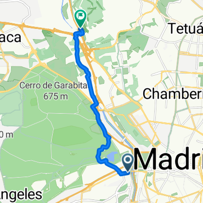 Calle de Saavedra Fajardo, Madrid to Moncloa-Aravaca, Madrid
- Distance
- 8.1 km
- Ascent
- 69 m
- Descent
- 61 m
- Location
- Madrid, Madrid, Spain
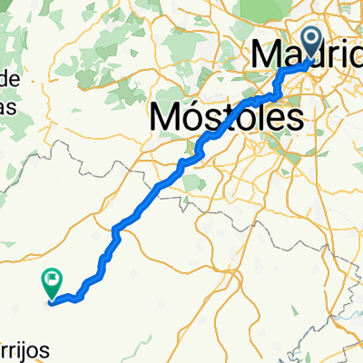
 Calle del Codo, Madrid to Calle de Montesinos, Aranjuez
- Distance
- 60.3 km
- Ascent
- 360 m
- Descent
- 515 m
- Location
- Madrid, Madrid, Spain
 route to school
- Distance
- 7.8 km
- Ascent
- 119 m
- Descent
- 55 m
- Location
- Madrid, Madrid, Spain
 De Calle del Olivar a Plaza de Lavapiés
- Distance
- 22.1 km
- Ascent
- 486 m
- Descent
- 513 m
- Location
- Madrid, Madrid, Spain
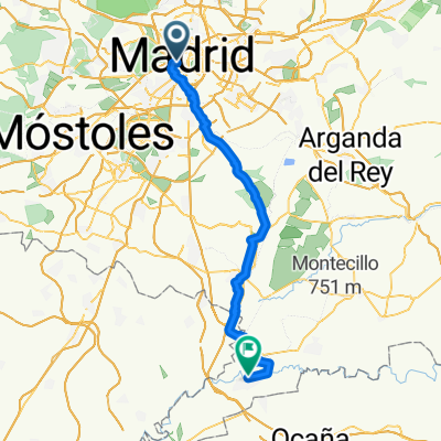
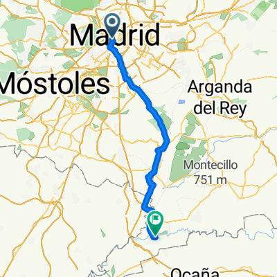
 Madrid - Fuensalida
- Distance
- 73.6 km
- Ascent
- 559 m
- Descent
- 650 m
- Location
- Madrid, Madrid, Spain
 Calle del Codo, Madrid to El cocheron 1910 Calle de Montesinos, Aranjuez
- Distance
- 54.8 km
- Ascent
- 303 m
- Descent
- 460 m
- Location
- Madrid, Madrid, Spain
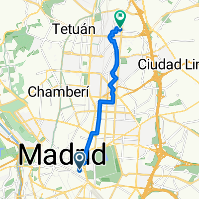
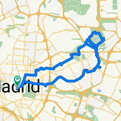 Atletico Stadium
- Distance
- 32.7 km
- Ascent
- 394 m
- Descent
- 393 m
- Location
- Madrid, Madrid, Spain
 Calle de Santa Casilda, Madrid a Calle de Santa Casilda, Madrid
- Distance
- 12.3 km
- Ascent
- 104 m
- Descent
- 103 m
- Location
- Madrid, Madrid, Spain
Open it in the app