
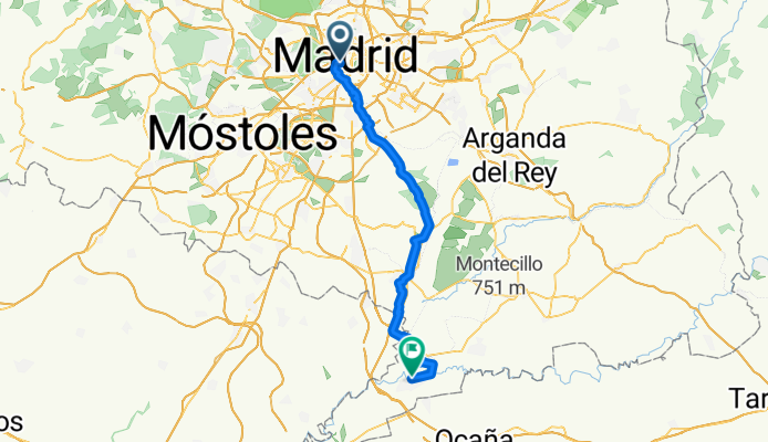
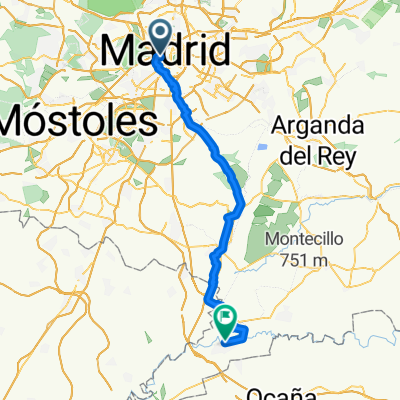
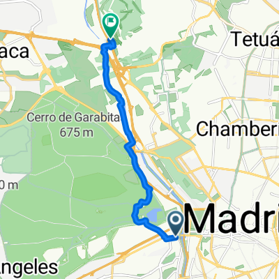
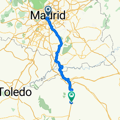
Calle del Codo, Madrid to Calle de Montesinos, Aranjuez
A cycling route starting in Madrid, Madrid, Spain.
Overview
About this route
- 4 h 5 min
- Duration
- 60.3 km
- Distance
- 360 m
- Ascent
- 515 m
- Descent
- 14.7 km/h
- Avg. speed
- 661 m
- Max. altitude
Route quality
Waytypes & surfaces along the route
Waytypes
Cycleway
27.1 km
(45 %)
Track
18.7 km
(31 %)
Surfaces
Paved
28.9 km
(48 %)
Unpaved
13.3 km
(22 %)
Paved (undefined)
13.9 km
(23 %)
Asphalt
8.4 km
(14 %)
Continue with Bikemap
Use, edit, or download this cycling route
You would like to ride Calle del Codo, Madrid to Calle de Montesinos, Aranjuez or customize it for your own trip? Here is what you can do with this Bikemap route:
Free features
- Save this route as favorite or in collections
- Copy & plan your own version of this route
- Sync your route with Garmin or Wahoo
Premium features
Free trial for 3 days, or one-time payment. More about Bikemap Premium.
- Navigate this route on iOS & Android
- Export a GPX / KML file of this route
- Create your custom printout (try it for free)
- Download this route for offline navigation
Discover more Premium features.
Get Bikemap PremiumFrom our community
Other popular routes starting in Madrid
 Calle del Codo, Madrid to Calle de Montesinos, Aranjuez
- Distance
- 60.3 km
- Ascent
- 360 m
- Descent
- 515 m
- Location
- Madrid, Madrid, Spain
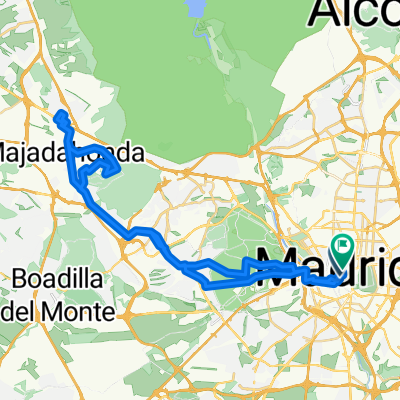
 Paseo de Extremadura, 41–53, Madrid a Calle de Pericles, 28, Madrid
- Distance
- 25.7 km
- Ascent
- 647 m
- Descent
- 640 m
- Location
- Madrid, Madrid, Spain
 Atletico Stadium
- Distance
- 32.7 km
- Ascent
- 394 m
- Descent
- 393 m
- Location
- Madrid, Madrid, Spain
 Calle de Saavedra Fajardo, Madrid to Moncloa-Aravaca, Madrid
- Distance
- 8.1 km
- Ascent
- 69 m
- Descent
- 61 m
- Location
- Madrid, Madrid, Spain
 Plaza de las Canalejas, Madrid - Plaza de las Canalejas, Madrid
- Distance
- 53.4 km
- Ascent
- 517 m
- Descent
- 517 m
- Location
- Madrid, Madrid, Spain
 Calle del Codo, Madrid to El cocheron 1910 Calle de Montesinos, Aranjuez
- Distance
- 54.8 km
- Ascent
- 303 m
- Descent
- 460 m
- Location
- Madrid, Madrid, Spain
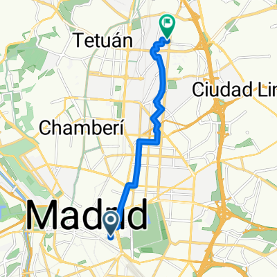 route to school
- Distance
- 7.8 km
- Ascent
- 119 m
- Descent
- 55 m
- Location
- Madrid, Madrid, Spain
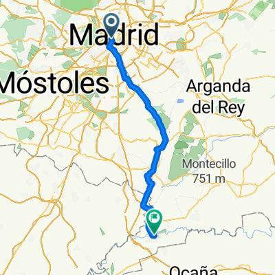
 Madrid - La Guardia
- Distance
- 97.9 km
- Ascent
- 803 m
- Descent
- 782 m
- Location
- Madrid, Madrid, Spain
Open it in the app