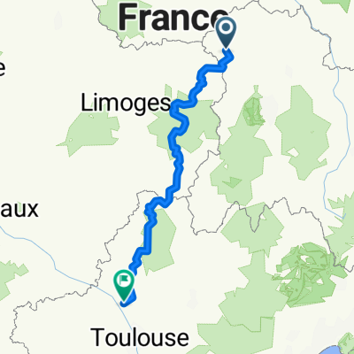


5° rit naar Tourmalet
- 143.6 km
- 1,165 m
- 755 m
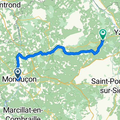
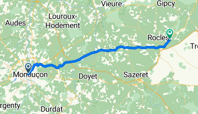
- Montluçon, Auvergne-Rhône-Alpes, France
A cycling route starting in Montluçon, Auvergne-Rhône-Alpes, France.
Overview
This was a very comfortable and easy ride through pleasant countryside, mostly farming area. EXCEPT for the long climb out of Montluçon that was the bulk of the first five kilometers of the ride.
created this 5 months ago


Route quality
Road
4.2 km
10 %
Quiet road
1.3 km
3 %
Paved
37 km
(88 %)
Asphalt
37 km
88 %
Undefined
5 km
12 %
Continue with Bikemap
You would like to ride Montluçon to Tronget or customize it for your own trip? Here is what you can do with this Bikemap route:
Free trial for 3 days, or one-time payment. More about Bikemap Premium.
Discover more Premium features.
Get Bikemap PremiumFrom our community
Open it in the app


![[Tour Francia 2001 - Et. 18] CRI: Montluçon - Saint-Amand-Montrond](https://media.bikemap.net/routes/323782/staticmaps/in_d6b3b037-9ada-40d9-8fb2-aee268e33831_400x400_bikemap-2021-3D-static.png)