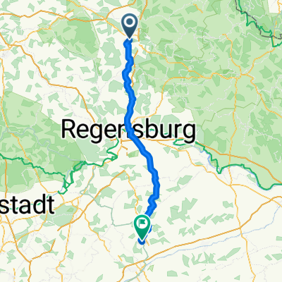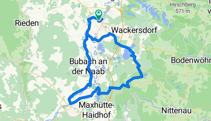
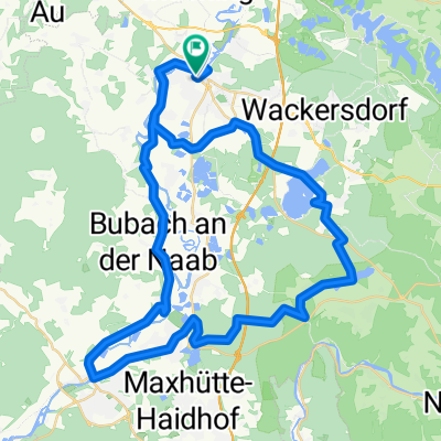
Bahnhof/ZOB nach Bahnhof/ZOB
- 58.5 km
- 177 m
- 178 m
- Schwandorf in Bayern, Bavaria, Germany
A cycling route starting in Schwandorf in Bayern, Bavaria, Germany.
Overview
created this 3 months ago
Route quality
Track
20.5 km
(35 %)
Quiet road
14 km
(24 %)
Paved
35.7 km
(61 %)
Unpaved
17.5 km
(30 %)
Asphalt
35.7 km
(61 %)
Gravel
11.7 km
(20 %)
Continue with Bikemap
You would like to ride Bahnhof/ZOB nach Bahnhof/ZOB or customize it for your own trip? Here is what you can do with this Bikemap route:
Free trial for 3 days, or one-time payment. More about Bikemap Premium.
Discover more Premium features.
Get Bikemap PremiumFrom our community
Open it in the app