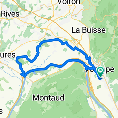


De Impasse Xavier Bichat à Chemin du Vieux Chêne
- 25.3 km
- 110 m
- 131 m
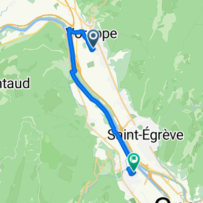
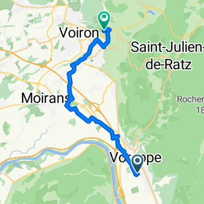
- Voreppe, Auvergne-Rhône-Alpes, France
A cycling route starting in Voreppe, Auvergne-Rhône-Alpes, France.
Overview
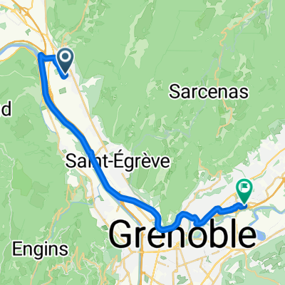
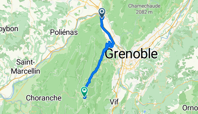
The first third of the route was on excellent bike path along the Isère River. The bicycle infrastructure in this part of France is wonderful.
The second third was the long climb (about 15 km and about 800 meters) up D531. It's a very steady climb with some great views. Also, there was relatively little road shoulder; only a short section near the top. While there was some traffic, it wasn't too bad.
The last part of the ride was an easy one into Villard-de-Lans. This is a very nice town in a beautiful setting.
created this 2 months ago


Route quality
Path
10.8 km
(26 %)
Quiet road
2.9 km
(7 %)
Paved
40.7 km
(98 %)
Asphalt
40.7 km
(98 %)
Undefined
0.8 km
(2 %)
Continue with Bikemap
You would like to ride Voreppe to Villard-de-Lans or customize it for your own trip? Here is what you can do with this Bikemap route:
Free trial for 3 days, or one-time payment. More about Bikemap Premium.
Discover more Premium features.
Get Bikemap PremiumFrom our community
Open it in the app