
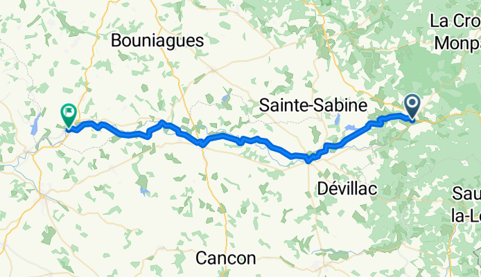


dag 3: Villeréal - Grézels
- 58.2 km
- 348 m
- 347 m
- Villeréal, Nouvelle-Aquitaine, France
A cycling route starting in Villeréal, Nouvelle-Aquitaine, France.
Overview
Start your cycling adventure in the charming town of Monpazier, Frankreich. As you pedal along the Boulevard des Ducs de Biron, enjoy the scenic views and immerse yourself in the local atmosphere. Continue your journey on the picturesque 78 Route d'Issigeac, where the road meanders through Castillonnès. The route offers a delightful mix of gentle inclines and smooth descents, perfect for maintaining your pace.
Feel the thrill as you tackle the ascent towards Eymet, reaching a maximum elevation of 225 meters. The descent afterward provides a rewarding change, bringing you down to the final stretch. With a total distance of 49.9 km and an elevation gain of 430 meters, this route promises a well-rounded challenge for cyclists of all levels.
The asphalt surface predominates, with a significant portion of the journey on paved roads. However, you'll also encounter sections on gravel paths, adding an element of unpredictability and excitement. Embrace the variety as you explore the cycling network, with a notable presence of regional routes alongside some undefined paths.
Whether you're a seasoned cyclist or new to the sport, this route offers a perfect blend of scenic beauty and physical challenge. So gear up, grab your bike, and embark on an unforgettable cycling experience through the heart of Frankreich.
AI generated
created this 2 months ago
Route quality
Quiet road
28 km
(56 %)
Road
17 km
(34 %)
Paved
17 km
(34 %)
Asphalt
17 km
(34 %)
Undefined
33 km
(66 %)
Continue with Bikemap
You would like to ride Monpazier➡️Eymet or customize it for your own trip? Here is what you can do with this Bikemap route:
Free trial for 3 days, or one-time payment. More about Bikemap Premium.
Discover more Premium features.
Get Bikemap PremiumFrom our community
Open it in the app


