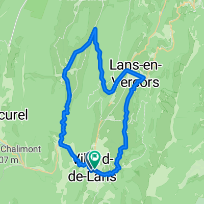

Villard-de-Lans to Die
- 65.3 km
- 938 m
- 1,627 m
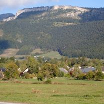
- Villard-de-Lans, Auvergne-Rhône-Alpes, France
A cycling route starting in Villard-de-Lans, Auvergne-Rhône-Alpes, France.
Overview
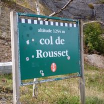
This was an excellent ride. After leaving Villard-de-Lans, it first went through a rugged beautiful gorge along D531 named Les Gorges de la Bourne. Then, after passing into La Drôme, we had very nice riding through beautiful countryside, eventually climbing toward the Col de Rousset at 1254. The climb was gradual with no horrendous steep sections.
Going through the well-lit tunnel at the top was easy and safe, despite its 700 meter or so length. After the tunnel, the descent was incredible with many switchbacks and beautiful panoramic views. The slopes were not so steep, making a very safe-feeling descent.
We highly recommend this route. D531 had a very little traffic. And D103 and D518 had even less. We hardly saw any vehicles on D518, which is the road that climbs to the pass and then descends to the town of Die.
created this 2 months ago


Route quality
Road
0.7 km
(1 %)
Quiet road
0.7 km
(1 %)
Undefined
64 km
(98 %)
Paved
40.5 km
(62 %)
Asphalt
40.5 km
(62 %)
Undefined
24.8 km
(38 %)
Continue with Bikemap
You would like to ride Villard-de-Lans to Die or customize it for your own trip? Here is what you can do with this Bikemap route:
Free trial for 3 days, or one-time payment. More about Bikemap Premium.
Discover more Premium features.
Get Bikemap PremiumFrom our community
Open it in the app