

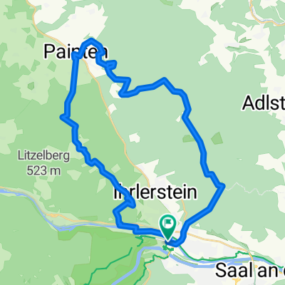
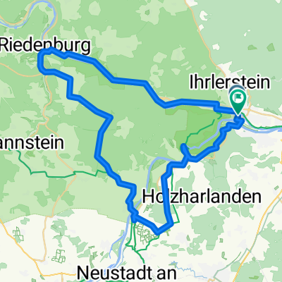
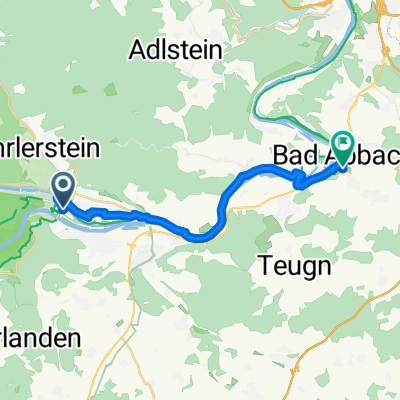
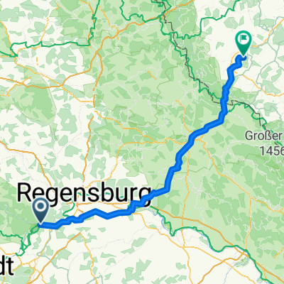
Kelheim - Mainz
A cycling route starting in Kelheim, Bavaria, Germany.
Overview
About this route
- 40 h 47 min
- Duration
- 693.1 km
- Distance
- 4,340 m
- Ascent
- 4,598 m
- Descent
- 17 km/h
- Avg. speed
- 564 m
- Max. altitude

Route quality
Waytypes & surfaces along the route
Waytypes
Path
291.1 km
(42 %)
Track
145.5 km
(21 %)
Surfaces
Paved
582.2 km
(84 %)
Unpaved
69.3 km
(10 %)
Asphalt
568.3 km
(82 %)
Gravel
55.4 km
(8 %)
Continue with Bikemap
Use, edit, or download this cycling route
You would like to ride Kelheim - Mainz or customize it for your own trip? Here is what you can do with this Bikemap route:
Free features
- Save this route as favorite or in collections
- Copy & plan your own version of this route
- Split it into stages to create a multi-day tour
- Sync your route with Garmin or Wahoo
Premium features
Free trial for 3 days, or one-time payment. More about Bikemap Premium.
- Navigate this route on iOS & Android
- Export a GPX / KML file of this route
- Create your custom printout (try it for free)
- Download this route for offline navigation
Discover more Premium features.
Get Bikemap PremiumFrom our community
Other popular routes starting in Kelheim
 Kelheim - Schaffhausen (4)
- Distance
- 427.9 km
- Ascent
- 698 m
- Descent
- 627 m
- Location
- Kelheim, Bavaria, Germany
 Pure Pleasure (UrTrails Altmühltal)
- Distance
- 33.2 km
- Ascent
- 613 m
- Descent
- 616 m
- Location
- Kelheim, Bavaria, Germany
 5. Etappe Kelheim - Nürnberg
- Distance
- 128.4 km
- Ascent
- 708 m
- Descent
- 739 m
- Location
- Kelheim, Bavaria, Germany
 D - Donauradweg-8 - Weltenburg-Regensburg - 47 km
- Distance
- 47 km
- Ascent
- 333 m
- Descent
- 378 m
- Location
- Kelheim, Bavaria, Germany
 Hafnergasse nach Hafnergasse
- Distance
- 53.7 km
- Ascent
- 366 m
- Descent
- 364 m
- Location
- Kelheim, Bavaria, Germany
 Am Pflegerspitz nach Stinkelbrunnstraße
- Distance
- 18.6 km
- Ascent
- 78 m
- Descent
- 79 m
- Location
- Kelheim, Bavaria, Germany
 Von Kelheim bis Horšovský Týn
- Distance
- 138.3 km
- Ascent
- 1,760 m
- Descent
- 1,642 m
- Location
- Kelheim, Bavaria, Germany
 24 h Kelheim
- Distance
- 16.2 km
- Ascent
- 241 m
- Descent
- 243 m
- Location
- Kelheim, Bavaria, Germany
Open it in the app