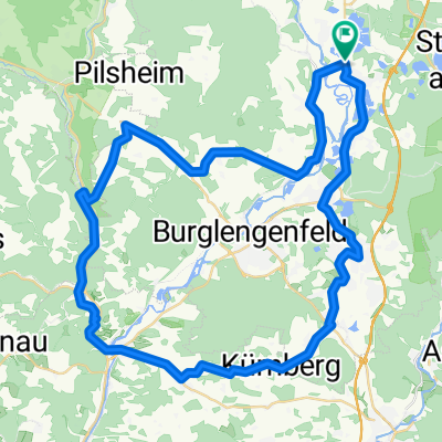
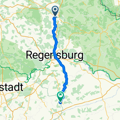
Donauradweg von Regensburg nach Wien
Regensburg - Deggendorf
A cycling route starting in Schwandorf in Bayern, Bavaria, Germany.
Overview
About this route
- 11 h 30 min
- Duration
- 201.5 km
- Distance
- 823 m
- Ascent
- 858 m
- Descent
- 17.5 km/h
- Avg. speed
- 422 m
- Max. altitude
Part of
Route quality
Waytypes & surfaces along the route
Waytypes
- Path - 58.4 km - (29 %) 
- Quiet road - 50.4 km - (25 %) 
Surfaces
Paved
175.3 km
(87 %)
Unpaved
12.1 km
(6 %)
- Asphalt - 173.3 km - (86 %) 
- Loose gravel - 10.1 km - (5 %) 
Continue with Bikemap
Use, edit, or download this cycling route
You would like to ride Regensburg - Deggendorf or customize it for your own trip? Here is what you can do with this Bikemap route:
Free features
- Save this route as favorite or in collections
- Copy & plan your own version of this route
- Split it into stages to create a multi-day tour
- Sync your route with Garmin or Wahoo
Premium features
Free trial for 3 days, or one-time payment. More about Bikemap Premium.
- Navigate this route on iOS & Android
- Export a GPX / KML file of this route
- Create your custom printout (try it for free)
- Download this route for offline navigation
Discover more Premium features.
Get Bikemap PremiumFrom our community
Other popular routes starting in Schwandorf in Bayern
 Rund um Naabeck Rund um Naabeck- Distance
- 18.7 km
- Ascent
- 159 m
- Descent
- 159 m
- Location
- Schwandorf in Bayern, Bavaria, Germany
 
 Otto-Hahn-Straße nach Naabgasse Otto-Hahn-Straße nach Naabgasse- Distance
- 16.2 km
- Ascent
- 93 m
- Descent
- 124 m
- Location
- Schwandorf in Bayern, Bavaria, Germany
 
 Saale 4 kurz: Schwandorf - Kotzenbach, Gasthaus Mois, 70,5km, 271hm Saale 4 kurz: Schwandorf - Kotzenbach, Gasthaus Mois, 70,5km, 271hm- Distance
- 70.8 km
- Ascent
- 230 m
- Descent
- 183 m
- Location
- Schwandorf in Bayern, Bavaria, Germany
 
 Zur Alten Hochstraße Zur Alten Hochstraße- Distance
- 19.4 km
- Ascent
- 207 m
- Descent
- 207 m
- Location
- Schwandorf in Bayern, Bavaria, Germany
 
 Angerring 35, Schwandorf nach Angerring 34, Schwandorf Angerring 35, Schwandorf nach Angerring 34, Schwandorf- Distance
- 17.4 km
- Ascent
- 199 m
- Descent
- 198 m
- Location
- Schwandorf in Bayern, Bavaria, Germany
 
 Bahnhof/ZOB nach Bahnhof/ZOB Bahnhof/ZOB nach Bahnhof/ZOB- Distance
- 58.5 km
- Ascent
- 177 m
- Descent
- 178 m
- Location
- Schwandorf in Bayern, Bavaria, Germany
 
 Tour nach Bad Abbach endlang der Donau Tour nach Bad Abbach endlang der Donau- Distance
- 89.4 km
- Ascent
- 1,045 m
- Descent
- 1,045 m
- Location
- Schwandorf in Bayern, Bavaria, Germany
 
 Kallmünz übers Vilstal Kallmünz übers Vilstal- Distance
- 57.9 km
- Ascent
- 330 m
- Descent
- 333 m
- Location
- Schwandorf in Bayern, Bavaria, Germany
 
Open it in the app


