
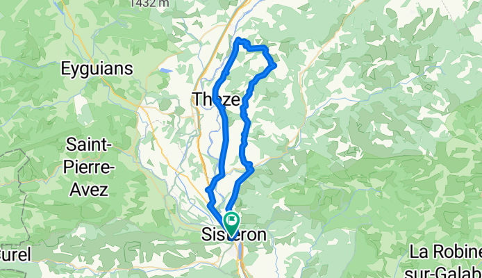
Sisteron - Circle to Claret
A cycling route starting in Sisteron, Provence-Alpes-Côte d'Azur Region, France.
Overview
About this route
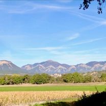
This was a great ride on mostly zero traffic roads. Beautifful scenery.
Only the first few kilometers getting out of town on D4085 had heavy traffic and little road shoulder.
The ride included some good climbs. Passed the Col de Grèle at 728M.
- 21 h 57 min
- Duration
- 54.3 km
- Distance
- 798 m
- Ascent
- 797 m
- Descent
- 2.5 km/h
- Avg. speed
- 866 m
- Max. altitude

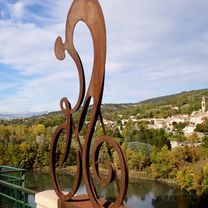
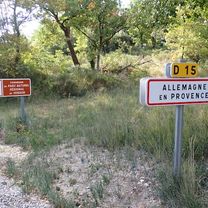
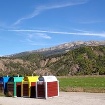
Route photos


Route quality
Waytypes & surfaces along the route
Waytypes
Road
35.8 km
(66 %)
Quiet road
1.1 km
(2 %)
Surfaces
Paved
19.6 km
(36 %)
Asphalt
19.6 km
(36 %)
Undefined
34.8 km
(64 %)
Continue with Bikemap
Use, edit, or download this cycling route
You would like to ride Sisteron - Circle to Claret or customize it for your own trip? Here is what you can do with this Bikemap route:
Free features
- Save this route as favorite or in collections
- Copy & plan your own version of this route
- Sync your route with Garmin or Wahoo
Premium features
Free trial for 3 days, or one-time payment. More about Bikemap Premium.
- Navigate this route on iOS & Android
- Export a GPX / KML file of this route
- Create your custom printout (try it for free)
- Download this route for offline navigation
Discover more Premium features.
Get Bikemap PremiumFrom our community
Other popular routes starting in Sisteron
 Alt1_From Sisteron to Allemagne-en-Provence
- Distance
- 80.1 km
- Ascent
- 1,683 m
- Descent
- 1,744 m
- Location
- Sisteron, Provence-Alpes-Côte d'Azur Region, France
 France Ultime : Avignon - Sisteron
- Distance
- 196.1 km
- Ascent
- 2,816 m
- Descent
- 3,223 m
- Location
- Sisteron, Provence-Alpes-Côte d'Azur Region, France
 Sisteron - Circle to Peipin
- Distance
- 14.8 km
- Ascent
- 145 m
- Descent
- 138 m
- Location
- Sisteron, Provence-Alpes-Côte d'Azur Region, France
 Sisteron to Allemagne-en-Provence
- Distance
- 66.6 km
- Ascent
- 897 m
- Descent
- 942 m
- Location
- Sisteron, Provence-Alpes-Côte d'Azur Region, France
 4. Tag Sisteron - Moustiers
- Distance
- 88.8 km
- Ascent
- 722 m
- Descent
- 613 m
- Location
- Sisteron, Provence-Alpes-Côte d'Azur Region, France
 Durance - Buech - Eygues
- Distance
- 306.8 km
- Ascent
- 1,098 m
- Descent
- 1,111 m
- Location
- Sisteron, Provence-Alpes-Côte d'Azur Region, France
 Sisteron - Circle to Clamensane and beyond
- Distance
- 58.8 km
- Ascent
- 662 m
- Descent
- 662 m
- Location
- Sisteron, Provence-Alpes-Côte d'Azur Region, France
 Sisteron - Circle to Claret
- Distance
- 54.3 km
- Ascent
- 798 m
- Descent
- 797 m
- Location
- Sisteron, Provence-Alpes-Côte d'Azur Region, France
Open it in the app