
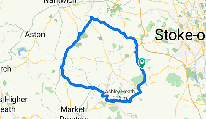
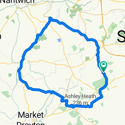
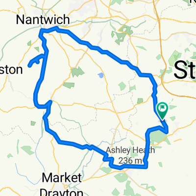
Park Wood Drive, Newcastle to Park Wood Drive, Newcastle
A cycling route starting in Standon, England, United Kingdom.
Overview
About this route
Welcome to an exhilarating 47.1 km cycling adventure that will test your stamina and reward you with breathtaking views. Starting your journey, you'll
AI generated
- 2 h 36 min
- Duration
- 47.1 km
- Distance
- 467 m
- Ascent
- 465 m
- Descent
- 18.1 km/h
- Avg. speed
- 219 m
- Max. altitude
Route quality
Waytypes & surfaces along the route
Waytypes
Road
16 km
(34 %)
Quiet road
11.8 km
(25 %)
Surfaces
Paved
16 km
(34 %)
Asphalt
15.5 km
(33 %)
Paved (undefined)
0.5 km
(1 %)
Undefined
31.1 km
(66 %)
Continue with Bikemap
Use, edit, or download this cycling route
You would like to ride Park Wood Drive, Newcastle to Park Wood Drive, Newcastle or customize it for your own trip? Here is what you can do with this Bikemap route:
Free features
- Save this route as favorite or in collections
- Copy & plan your own version of this route
- Sync your route with Garmin or Wahoo
Premium features
Free trial for 3 days, or one-time payment. More about Bikemap Premium.
- Navigate this route on iOS & Android
- Export a GPX / KML file of this route
- Create your custom printout (try it for free)
- Download this route for offline navigation
Discover more Premium features.
Get Bikemap PremiumFrom our community
Other popular routes starting in Standon
 Park Wood Drive, Newcastle to Park Wood Drive, Newcastle
- Distance
- 47.1 km
- Ascent
- 467 m
- Descent
- 465 m
- Location
- Standon, England, United Kingdom
 Swynners Woore
- Distance
- 80.4 km
- Ascent
- 351 m
- Descent
- 358 m
- Location
- Standon, England, United Kingdom
 Church Road, Market Drayton to 118 Foley Road, Stoke-on-Trent
- Distance
- 24.8 km
- Ascent
- 210 m
- Descent
- 230 m
- Location
- Standon, England, United Kingdom
 Springfields, Wesleyan Road, Market Drayton to 15 Welby St, Stoke-On-Trent
- Distance
- 18.5 km
- Ascent
- 172 m
- Descent
- 226 m
- Location
- Standon, England, United Kingdom
 65m trainer woore to shock latch
- Distance
- 65.9 km
- Ascent
- 239 m
- Descent
- 279 m
- Location
- Standon, England, United Kingdom
 Route from Park Wood Drive, Newcastle
- Distance
- 61 km
- Ascent
- 530 m
- Descent
- 555 m
- Location
- Standon, England, United Kingdom
 Norbury Junction
- Distance
- 54.1 km
- Ascent
- 252 m
- Descent
- 252 m
- Location
- Standon, England, United Kingdom
 LEJOG Day 6
- Distance
- 159.8 km
- Ascent
- 317 m
- Descent
- 524 m
- Location
- Standon, England, United Kingdom
Open it in the app