Black Dog Rd, Burnsville to Black Dog Rd, Burnsville
- 11.7 km
- 9 m
- 6 m
- Burnsville, Minnesota, United States
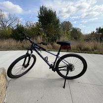
A cycling route starting in Burnsville, Minnesota, United States.
Overview
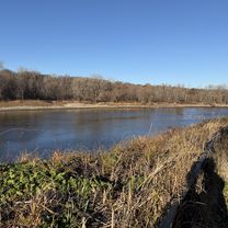
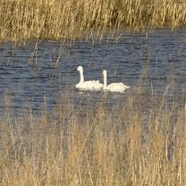
Embark on an exhilarating cycling adventure that weaves through scenic landscapes and varied terrain. This 11.2 km route offers a balanced mix of gentle climbs and smooth descents, perfect for cyclists looking to challenge themselves without excessive effort.
The ascent of 6 meters is a gentle climb that rewards you with breathtaking views from higher elevations. As you tackle the descent, the 6 meters of descent offer a thrilling downhill ride, allowing you to soak in the sights below. The route's maximum elevation of 219 meters ensures a diverse experience, with each turn revealing new vistas and hidden gems.
Whether you're a seasoned cyclist or a casual rider, this route promises an enjoyable and invigorating experience. So gear up and hit the trail for a ride that's as rewarding for the body as it is for the soul.
AI generated
created this 5 months ago


Route quality
Cycleway
11.6 km
100 %
Paved
11.6 km
(100 %)
Asphalt
11.5 km
99 %
Concrete
0.1 km
1 %
Continue with Bikemap
You would like to ride Black Dog Rd, Burnsville to Black Dog Rd, Burnsville or customize it for your own trip? Here is what you can do with this Bikemap route:
Free trial for 3 days, or one-time payment. More about Bikemap Premium.
Discover more Premium features.
Get Bikemap PremiumFrom our community
Open it in the app