

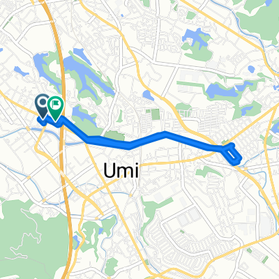
障子岳2丁目, 宇美町へ西浜町, 唐津市
A cycling route starting in Umi, Fukuoka, Japan.
Overview
About this route
0
- 5:11 h
- Duration
- 84.6 km
- Distance
- 1,527 m
- Ascent
- 1,636 m
- Descent
- 16.3 km/h
- Avg. speed
- 614 m
- Max. altitude
bikemapuser409798033029369
created this 6 months ago
Route photos

Route quality
Waytypes & surfaces along the route
Waytypes
Quiet road
70.2 km
83 %
Road
7.6 km
9 %
Surfaces
Paved
11 km
(13 %)
Unpaved
1.7 km
(2 %)
Asphalt
11 km
13 %
Unpaved (undefined)
1.7 km
2 %
Undefined
71.9 km
85 %
Continue with Bikemap
Use, edit, or download this cycling route
You would like to ride 障子岳2丁目, 宇美町へ西浜町, 唐津市 or customize it for your own trip? Here is what you can do with this Bikemap route:
Free features
- Save this route as favorite or in collections
- Copy & plan your own version of this route
- Split it into stages to create a multi-day tour
- Sync your route with Garmin or Wahoo
Premium features
Free trial for 3 days, or one-time payment. More about Bikemap Premium.
- Navigate this route on iOS & Android
- Export a GPX / KML file of this route
- Create your custom printout (try it for free)
- Download this route for offline navigation
Discover more Premium features.
Get Bikemap PremiumFrom our community
Other popular routes starting in Umi


Open it in the app