Thao Dien to district 1 tourist attractions
- 18.6 km
- 95 m
- 96 m
- Quận Hai, Ho Chi Minh City, Vietnam
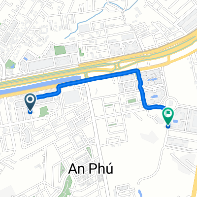
A cycling route starting in Quận Hai, Ho Chi Minh City, Vietnam.
Overview
Embark on a scenic 12.7 km cycling adventure that weaves through lush landscapes and charming countryside. This route offers a gentle climb of 57 meters, followed by a delightful descent of 55 meters, culminating at a maximum elevation of 12 meters. Perfect for both seasoned cyclists and beginners alike, this path provides a refreshing mix of elevation changes and flat stretches, ensuring an enjoyable ride every step of the way.
AI generated
created this 3 months ago
Route quality
Road
3.9 km
30 %
Quiet road
1.2 km
9 %
Paved
7.6 km
(58 %)
Asphalt
7.6 km
58 %
Undefined
5.5 km
42 %
Continue with Bikemap
You would like to ride Binh Trung Tay, Ho Chi Minh City to Nguyen Duy Trinh, Ho Chi Minh City or customize it for your own trip? Here is what you can do with this Bikemap route:
Free trial for 3 days, or one-time payment. More about Bikemap Premium.
Discover more Premium features.
Get Bikemap PremiumFrom our community
Open it in the app