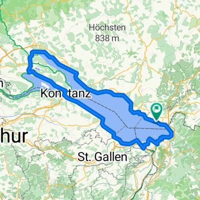
Tag 10 Hotel Bad Schachen nach Hotel HALM Konstanz
- 75.2 km
- 267 m
- 266 m
- Bodolz, Bavaria, Germany
A cycling route starting in Bodolz, Bavaria, Germany.
Overview
The cycling route begins in the town of Potsdam and takes you through a mix of asphalt and unpaved paths. The ride mostly follows quiet streets, but you'll also encounter small forests and a forest road. The route is mostly paved, but there are some stretches of gravel and dirt. As you ride, you'll ascend gradually, with the highest point reached around Griebnitzsee at 577 meters. After that, it's mostly downhill. The route is relatively flat, with only a few small hills and descents. The total distance is around 37 kilometres, and the ascent is just 568 metres, making it a manageable ride for most cyclists.
AI generated
created this 1 month ago
Route quality
Quiet road
17.2 km
46 %
Road
7.5 km
20 %
Paved
34.4 km
(92 %)
Unpaved
3 km
(8 %)
Asphalt
34.4 km
92 %
Gravel
1.9 km
5 %
Continue with Bikemap
You would like to ride Wasserburg - Tettnang or customize it for your own trip? Here is what you can do with this Bikemap route:
Free trial for 3 days, or one-time payment. More about Bikemap Premium.
Discover more Premium features.
Get Bikemap PremiumFrom our community
Open it in the app