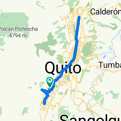
Ruta Jesus de Nazareth ( Ejercito - Ecuatoriana - Martha Bucaram - 23 d mayo - Chillogallo))
A cycling route starting in Quito, Pichincha, Ecuador.
Overview
About this route
Be 5 minutes early before the set times, guys.
- -:--
- Duration
- 7.4 km
- Distance
- 89 m
- Ascent
- 124 m
- Descent
- ---
- Avg. speed
- ---
- Max. altitude
Route highlights
Points of interest along the route
Point of interest after 0 km
Guayanay Ñan y Av Pedro Vicente Maldonado 06:00 am
Point of interest after 1.1 km
Av Guayanay Ñan y Av Gral. Jose Gallardo 06:05 am
Point of interest after 2.1 km
Av. Rumichaca y Av. Mariscal Sucre 06:15
Point of interest after 3.3 km
Emilio Uzcategui Y Emel Fallios 06:25 am
Point of interest after 4 km
Francisco Becerra y Rosario Borja 06:35 am
Point of interest after 5.1 km
Calle del Oleoducto 06:45
Point of interest after 6.1 km
Carlos Freire Zaldubide y calle 06:50 am
Point of interest after 7.4 km
UNIDAD EDUCATIVA JESUS DE NAZARETH 06:50 am
Continue with Bikemap
Use, edit, or download this cycling route
You would like to ride Ruta Jesus de Nazareth ( Ejercito - Ecuatoriana - Martha Bucaram - 23 d mayo - Chillogallo)) or customize it for your own trip? Here is what you can do with this Bikemap route:
Free features
- Save this route as favorite or in collections
- Copy & plan your own version of this route
- Sync your route with Garmin or Wahoo
Premium features
Free trial for 3 days, or one-time payment. More about Bikemap Premium.
- Navigate this route on iOS & Android
- Export a GPX / KML file of this route
- Create your custom printout (try it for free)
- Download this route for offline navigation
Discover more Premium features.
Get Bikemap PremiumFrom our community
Other popular routes starting in Quito
Ruta Jesus de Nazareth ( Giron - Transito - Santa Rosa I - Parque de Cillogallo)- Distance
- 3.3 km
- Ascent
- 4 m
- Descent
- 66 m
- Location
- Quito, Pichincha, Ecuador
la cuyada de minas- Distance
- 78.4 km
- Ascent
- 1,256 m
- Descent
- 1,666 m
- Location
- Quito, Pichincha, Ecuador
UNGUI - RIO BLANCO- Distance
- 29 km
- Ascent
- 344 m
- Descent
- 1,525 m
- Location
- Quito, Pichincha, Ecuador
CHIRIVUELTA- Distance
- 66.3 km
- Ascent
- 1,088 m
- Descent
- 3,253 m
- Location
- Quito, Pichincha, Ecuador
CHIRIVUELTA- Distance
- 66.2 km
- Ascent
- 1,272 m
- Descent
- 3,396 m
- Location
- Quito, Pichincha, Ecuador
Zeppelin_EXPLORE_Ecuador_2015- Distance
- 1,696.3 km
- Ascent
- 10,606 m
- Descent
- 10,586 m
- Location
- Quito, Pichincha, Ecuador
Chimbacalle-- Distance
- 64.5 km
- Ascent
- 839 m
- Descent
- 1,858 m
- Location
- Quito, Pichincha, Ecuador
Santa Clara Baja- Distance
- 24.4 km
- Ascent
- 484 m
- Descent
- 581 m
- Location
- Quito, Pichincha, Ecuador
Open it in the app

