


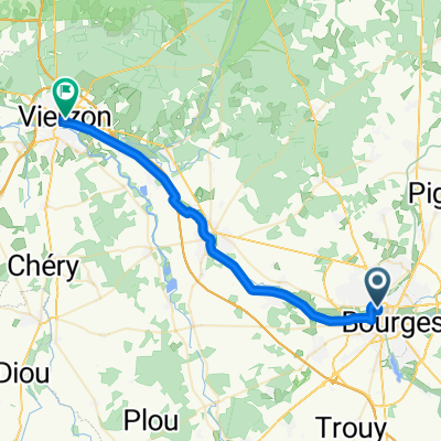
Bourges - Bléré
A cycling route starting in Bourges, Centre-Val de Loire, France.
Overview
About this route
0
- 7:31 h
- Duration
- 129 km
- Distance
- 215 m
- Ascent
- 288 m
- Descent
- 17.1 km/h
- Avg. speed
- 130 m
- Max. altitude
Edouard De Watteville
created this 1 month ago
Route quality
Waytypes & surfaces along the route
Waytypes
Path
60.6 km
47 %
Quiet road
33.5 km
26 %
Surfaces
Paved
86.4 km
(67 %)
Unpaved
5.2 km
(4 %)
Asphalt
76.1 km
59 %
Concrete
10.3 km
8 %
Continue with Bikemap
Use, edit, or download this cycling route
You would like to ride Bourges - Bléré or customize it for your own trip? Here is what you can do with this Bikemap route:
Free features
- Save this route as favorite or in collections
- Copy & plan your own version of this route
- Split it into stages to create a multi-day tour
- Sync your route with Garmin or Wahoo
Premium features
Free trial for 3 days, or one-time payment. More about Bikemap Premium.
- Navigate this route on iOS & Android
- Export a GPX / KML file of this route
- Create your custom printout (try it for free)
- Download this route for offline navigation
Discover more Premium features.
Get Bikemap PremiumFrom our community
Other popular routes starting in Bourges


 Rue des Frères Lumière, Trouy à Rue des Frères Lumière, Trouy0
- 29.7 km
- 134 m
- 141 m
- Bourges, Centre-Val de Loire, France


 Bourges to Plaimpied-Givaudins – Coeur de France à vélo0
- 12.4 km
- 27 m
- 15 m
- Bourges, Centre-Val de Loire, France


Open it in the app