Etappe 2
- 85.7 km
- 2,319 m
- 1,898 m
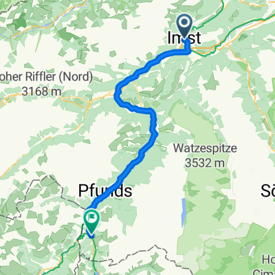
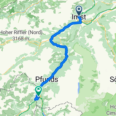
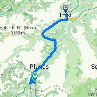
- Imst, Tyrol, Austria
A cycling route starting in Imst, Tyrol, Austria.
Overview
A beautiful high-altitude loop near Imst, Austria No. 1
created this 13 years ago
Route quality
Track
10.6 km
(65 %)
Road
2.3 km
(14 %)
Paved
5.6 km
(34 %)
Unpaved
9.5 km
(58 %)
Gravel
8 km
(49 %)
Asphalt
4.7 km
(29 %)
Continue with Bikemap
You would like to ride Ö_Imst-Höhenrunde Nr.1 or customize it for your own trip? Here is what you can do with this Bikemap route:
Free trial for 3 days, or one-time payment. More about Bikemap Premium.
Discover more Premium features.
Get Bikemap PremiumFrom our community
Open it in the app