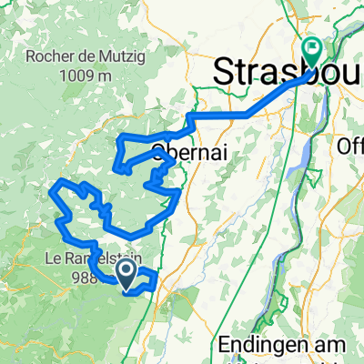
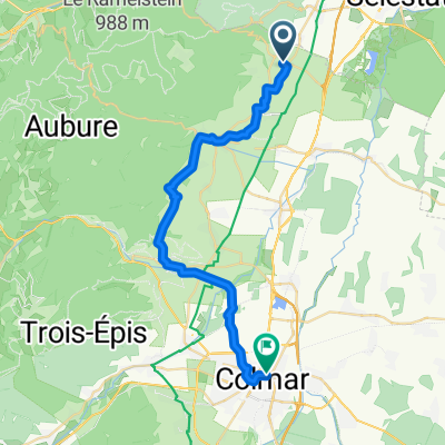
Saint Hippolyte - Orbey - Bagenelles
- 101.2 km
- 1,449 m
- 1,449 m
- Saint-Hippolyte, Grand Est, France
A cycling route starting in Saint-Hippolyte, Grand Est, France.
Overview
created this 13 years ago
Route quality
Road
48.2 km
27 %
Quiet road
7.1 km
4 %
Paved
85.7 km
(48 %)
Unpaved
3.6 km
(2 %)
Asphalt
83.9 km
47 %
Paved (undefined)
1.8 km
1 %
Route highlights
Haut-Kœnigsbourg 757 m
Col de Fouchy 603 m
Le Climont 700 m
Le Champ du Feu 1100 m
Mont Sainte-Odile 764 m
Mont Sainte-Odile 784 m
Le Rothlach 882 m
Continue with Bikemap
You would like to ride Strasbourg - Château du Haut-Kœnigsbourg or customize it for your own trip? Here is what you can do with this Bikemap route:
Free trial for 3 days, or one-time payment. More about Bikemap Premium.
Discover more Premium features.
Get Bikemap PremiumFrom our community
Open it in the app