


0
- 8.3 km
- 185 m
- 190 m
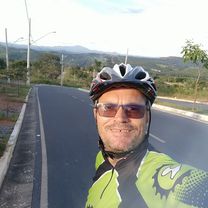
- Lagoa Santa, Minas Gerais, Brazil
A cycling route starting in Lagoa Santa, Minas Gerais, Brazil.
Overview
<span style="color: #333333; font-family: 'Helvetica Neue', Helvetica, Arial, sans-serif; font-size: 19px; line-height: 30.71875px; white-space: pre-wrap;">Trajeto completo da cicloviagem - saímos do Aerop de Confins, cruzamos a Serra do Cipó e descemos pelo Caminho dos Diamantes até Ouro Preto - 600 km de pedal em 9 dias.</span>
created this 13 years ago
Continue with Bikemap
You would like to ride Serra do Cipó & Caminho dos Diamantes - 600 km or customize it for your own trip? Here is what you can do with this Bikemap route:
Free trial for 3 days, or one-time payment. More about Bikemap Premium.
Discover more Premium features.
Get Bikemap PremiumFrom our community


Open it in the app