


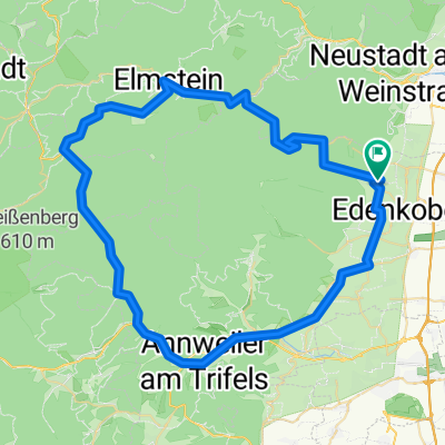
St Martin Ritt durch die Pfalz
- 69 km
- 830 m
- 834 m
- Sankt Martin, Rhineland-Palatinate, Germany
A cycling route starting in Sankt Martin, Rhineland-Palatinate, Germany.
Overview
road cycling through the Palatinate Forest. Starting point AV Schneider.
created this 13 years ago
Route quality
Track
11.7 km
17 %
Road
11 km
16 %
Paved
50.3 km
(73 %)
Unpaved
7.6 km
(11 %)
Asphalt
49 km
71 %
Unpaved (undefined)
6.2 km
9 %
Continue with Bikemap
You would like to ride St Martin Ritt durch die Pfalz or customize it for your own trip? Here is what you can do with this Bikemap route:
Free trial for 3 days, or one-time payment. More about Bikemap Premium.
Discover more Premium features.
Get Bikemap PremiumFrom our community
Open it in the app


