Zeppelin_EXPLORE_Ecuador_2015
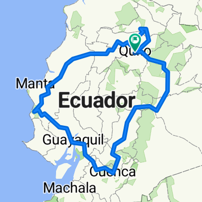
- 1,696.3 km
- 10,606 m
- 10,586 m
- Quito, Pichincha, Ecuador
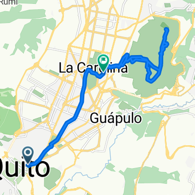
A cycling route starting in Quito, Pichincha, Ecuador.
Overview
Route from the southern grandstand to San José de Minas!!!
created this 12 years ago
Route highlights
par pedalazos
redondel del condado
Continue with Bikemap
You would like to ride la cuyada de minas or customize it for your own trip? Here is what you can do with this Bikemap route:
Free trial for 3 days, or one-time payment. More about Bikemap Premium.
Discover more Premium features.
Get Bikemap PremiumFrom our community
Open it in the app