neue Feierabendrunde
- 24.2 km
- 223 m
- 220 m
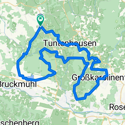
- Tuntenhausen, Bavaria, Germany
As often as possible, I ride my bike to work. I park the car in Tuntenhausen and start cycling. The route is very quiet in the first half. Later, from Glonn, commuters appear, making it less pleasant. This is probably the fastest connection. The only notable climb is in Glonn. Otherwise, the course is really good for rolling.
Road
10.6 km25 %Quiet road
9.8 km23 %Paved
40 km(94 %)Unpaved
0.9 km(2 %)Asphalt
40 km94 %Gravel
0.9 km2 %Undefined
1.7 km4 %Free trial for 3 days, or one-time payment. More about Bikemap Premium.
Discover more Premium features.
Get Bikemap PremiumOpen it in the app