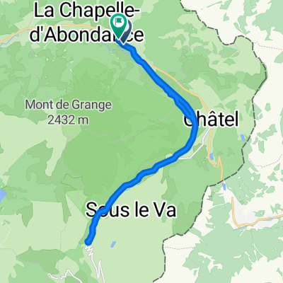


3000–3202 Piste Pastorale de l'Auberraz, La Chapelle-d'Abondance to Chemin de Broisin 4–18, Champéry
- 31.2 km
- 883 m
- 1,137 m
- Châtel, Auvergne-Rhône-Alpes, France
A cycling route starting in Châtel, Auvergne-Rhône-Alpes, France.
Overview
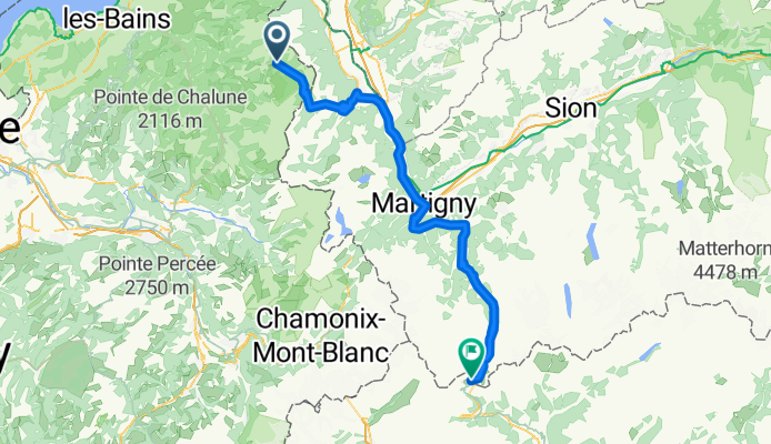
From La Chapelle to the Great Saint Bernard Pass
created this 12 years ago
Route quality
Quiet road
6.6 km
(7 %)
Access road
5.7 km
(6 %)
Paved
57.6 km
(61 %)
Unpaved
3.8 km
(4 %)
Asphalt
57.6 km
(61 %)
Unpaved (undefined)
3.8 km
(4 %)
Undefined
33 km
(35 %)
Continue with Bikemap
You would like to ride wypad wloski cz.1 or customize it for your own trip? Here is what you can do with this Bikemap route:
Free trial for 3 days, or one-time payment. More about Bikemap Premium.
Discover more Premium features.
Get Bikemap PremiumFrom our community
Open it in the app