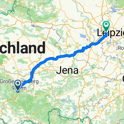
Von Oberhof (Bahnhof) nach Völkershausen
- 48.9 km
- 328 m
- 593 m
- Oberhof, Thuringia, Germany
We start at the large parking lot at the Rennsteig Garden. Daily price 3 €. There is a discount if you visit the Rennsteig Garden with its alpine plants. The route descends over 1.8 km to 666 m NN with an average slope of 12 %. We pass the train station of Oberhof and the route continues to descend in the Lubenbachtal to the outskirts of Zella-Mehlis. Undulating, we head left of the railway line towards Suhl. We pass under the railway line again and climb into an industrial area. Then the road descends again and later we reach the district of Ziegenberg in Suhl. The road descends further to 457 m NN. This is the beginning of the ascent to Schmiedefeld. The next 3 km are challenging, with an average ascent from Suhl of 10 %. Then it becomes more moderate between 6 - 8 %. Later, flat sections and short descents invite for recovery. We reach Schmiedefeld relaxed at 732 m NN. We ride a piece on the B 4 to Stützerbach, but traffic is limited. In Stützerbach we leave the federal road and roll over a steep cobblestone street into the village center. Here begins a short steep climb to the forest inn Auerhahn. We meet the K 56 at the forest inn. At first, there is a slight uphill or it is flat, and after 3 km we reach the fork to the mountain and hunting hotel Gabelbach. Now follows an unmatched descent that overcomes almost 250 meters of altitude over 3.2 km. Suddenly we are in the university town of Ilmenau. Through side streets, we cross the center of the village and suddenly find ourselves back on the B4. After a short distance, our route turns left towards Roda. The road descends until just before Elgershausen. Then it rises briefly before the village and continues undulating upwards towards Geraberg to the A 71. It drops sharply into the village of Geschwenda and rises noticeably out of it again. Then we encounter a downhill stretch towards Gräfenroda. At an intersection, we turn left into the valley of the Wilden Gera towards Gehlberg. With a gentle incline, we continue upwards. Suddenly we turn into a side valley and reach Oberhof after 5.3 km without car traffic. From here, we mostly reach our starting point on flat terrain after a few meters.
Quiet road
17.4 km26 %Road
16.8 km25 %Paved
57 km(85 %)Unpaved
0.7 km(1 %)Asphalt
56.3 km84 %Paved (undefined)
0.7 km1 %Free trial for 3 days, or one-time payment. More about Bikemap Premium.
Discover more Premium features.
Get Bikemap PremiumOpen it in the app