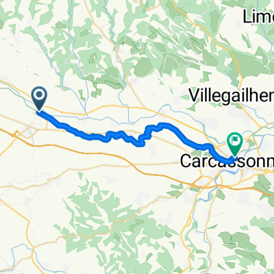
2013 Ride Day 25 - Bram Circle through Labécède-Lauragais and Lasbordes
A cycling route starting in Bram, Languedoc-Roussillon-Midi-Pyrénées, France.
Overview
About this route
With the exception of the few kilometers on D33 which had slightly too much traffic, this was an outstanding ride on low traffic roads with wonderful scenery and some climbing.
- -:--
- Duration
- 52.9 km
- Distance
- 447 m
- Ascent
- 444 m
- Descent
- ---
- Avg. speed
- ---
- Avg. speed
Route quality
Waytypes & surfaces along the route
Waytypes
Road
34.4 km
(65 %)
Quiet road
11.6 km
(22 %)
Surfaces
Paved
7.1 km
(13 %)
Asphalt
7.1 km
(13 %)
Undefined
45.8 km
(87 %)
Continue with Bikemap
Use, edit, or download this cycling route
You would like to ride 2013 Ride Day 25 - Bram Circle through Labécède-Lauragais and Lasbordes or customize it for your own trip? Here is what you can do with this Bikemap route:
Free features
- Save this route as favorite or in collections
- Copy & plan your own version of this route
- Sync your route with Garmin or Wahoo
Premium features
Free trial for 3 days, or one-time payment. More about Bikemap Premium.
- Navigate this route on iOS & Android
- Export a GPX / KML file of this route
- Create your custom printout (try it for free)
- Download this route for offline navigation
Discover more Premium features.
Get Bikemap PremiumFrom our community
Other popular routes starting in Bram
- 2013 Ride Day 26 - Bram Circle through Laurac and Cazalrenoux
- Distance
- 47.5 km
- Ascent
- 385 m
- Descent
- 385 m
- Location
- Bram, Languedoc-Roussillon-Midi-Pyrénées, France
- 2013 Ride Day 25 - Bram Circle through Labécède-Lauragais and Lasbordes
- Distance
- 52.9 km
- Ascent
- 447 m
- Descent
- 444 m
- Location
- Bram, Languedoc-Roussillon-Midi-Pyrénées, France
- Carcassonne to Saint-Paul, Aude France
- Distance
- 133.3 km
- Ascent
- 3,078 m
- Descent
- 2,801 m
- Location
- Bram, Languedoc-Roussillon-Midi-Pyrénées, France
- 2013 Ride Day 28 - Bram to St-Pierre-de-Rivière (Foix)
- Distance
- 90 km
- Ascent
- 1,033 m
- Descent
- 707 m
- Location
- Bram, Languedoc-Roussillon-Midi-Pyrénées, France
- Bram - Narbone
- Distance
- 254.2 km
- Ascent
- 2,350 m
- Descent
- 2,468 m
- Location
- Bram, Languedoc-Roussillon-Midi-Pyrénées, France
- Le Gabachou 943, Bram to La Noble 316, Pennautier
- Distance
- 26 km
- Ascent
- 13 m
- Descent
- 81 m
- Location
- Bram, Languedoc-Roussillon-Midi-Pyrénées, France
- 2013 Ride Day 27 - Bram Circle through Villepinte, St-Papoul, St-Ferréol, and Carlipa
- Distance
- 70.4 km
- Ascent
- 786 m
- Descent
- 785 m
- Location
- Bram, Languedoc-Roussillon-Midi-Pyrénées, France
- Bram > Andorra-Pal (203 km)
- Distance
- 202.9 km
- Ascent
- 4,433 m
- Descent
- 2,678 m
- Location
- Bram, Languedoc-Roussillon-Midi-Pyrénées, France
Open it in the app