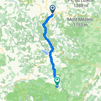
Day 1 - Way of St. James - Le Puy to SJPP
- 42.9 km
- 972 m
- 643 m
- Le Puy-en-Velay, Auvergne-Rhône-Alpes, France
A cycling route starting in Le Puy-en-Velay, Auvergne-Rhône-Alpes, France.
Overview
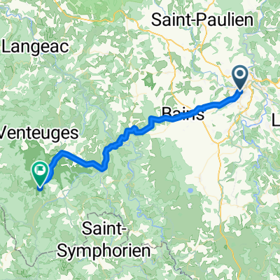
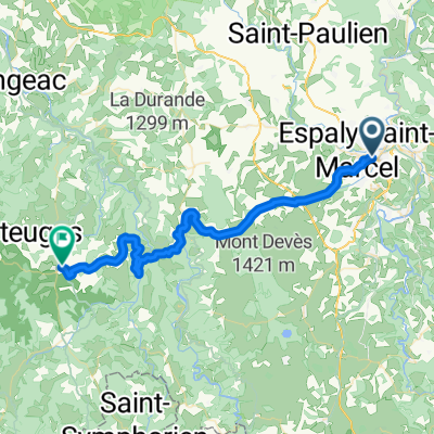
Southwest loop Naussac Dam
created this 12 years ago
Route quality
Road
58.5 km
(41 %)
Quiet road
4.3 km
(3 %)
Paved
39.9 km
(28 %)
Asphalt
38.5 km
(27 %)
Paved (undefined)
1.4 km
(1 %)
Undefined
102.7 km
(72 %)
Continue with Bikemap
You would like to ride CPR Puy en Velay 2014 or customize it for your own trip? Here is what you can do with this Bikemap route:
Free trial for 3 days, or one-time payment. More about Bikemap Premium.
Discover more Premium features.
Get Bikemap PremiumFrom our community
Open it in the app