

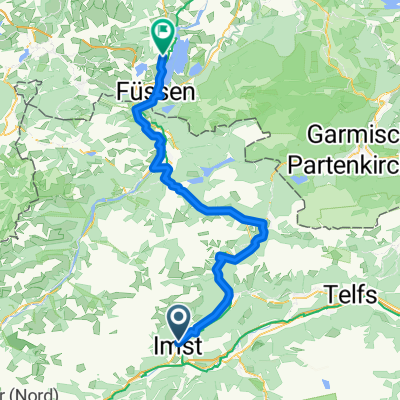
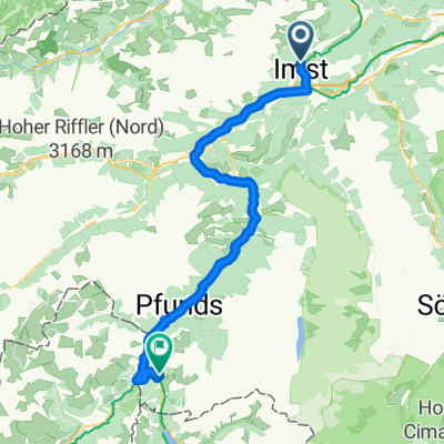
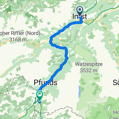
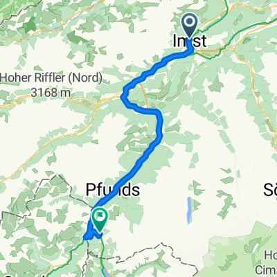
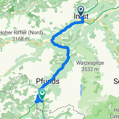
Ischgl/Hahntennjoch/Nassenreith/Landeck/Ischgl
A cycling route starting in Imst, Tyrol, Austria.
Overview
About this route
Ischgl/Hahntennjoch/Nassenreith/Landeck/Ischgl
- -:--
- Duration
- 101 km
- Distance
- 2,068 m
- Ascent
- 2,072 m
- Descent
- ---
- Avg. speed
- ---
- Max. altitude
Continue with Bikemap
Use, edit, or download this cycling route
You would like to ride Ischgl/Hahntennjoch/Nassenreith/Landeck/Ischgl or customize it for your own trip? Here is what you can do with this Bikemap route:
Free features
- Save this route as favorite or in collections
- Copy & plan your own version of this route
- Split it into stages to create a multi-day tour
- Sync your route with Garmin or Wahoo
Premium features
Free trial for 3 days, or one-time payment. More about Bikemap Premium.
- Navigate this route on iOS & Android
- Export a GPX / KML file of this route
- Create your custom printout (try it for free)
- Download this route for offline navigation
Discover more Premium features.
Get Bikemap PremiumFrom our community
Other popular routes starting in Imst
 Etappe 2
- Distance
- 85.7 km
- Ascent
- 2,319 m
- Descent
- 1,898 m
- Location
- Imst, Tyrol, Austria
 Von Imst bis Rieden am Forggensee
- Distance
- 76.7 km
- Ascent
- 1,609 m
- Descent
- 1,620 m
- Location
- Imst, Tyrol, Austria
 3. Etappe Imst - Nauders
- Distance
- 73.7 km
- Ascent
- 2,216 m
- Descent
- 1,709 m
- Location
- Imst, Tyrol, Austria
 Favorit-mst - nauders etappe 2
- Distance
- 65.1 km
- Ascent
- 2,049 m
- Descent
- 1,465 m
- Location
- Imst, Tyrol, Austria
 Imst - Nauders
- Distance
- 65.4 km
- Ascent
- 1,755 m
- Descent
- 1,468 m
- Location
- Imst, Tyrol, Austria
 2014 Alpencross 3. Etappe Imst nach Nauders
- Distance
- 75.6 km
- Ascent
- 855 m
- Descent
- 309 m
- Location
- Imst, Tyrol, Austria
 Ö_Imst-Höhenrunde Nr.1
- Distance
- 16.4 km
- Ascent
- 552 m
- Descent
- 565 m
- Location
- Imst, Tyrol, Austria
 Mittenwald - Schönberg im Stubaital
- Distance
- 73.3 km
- Ascent
- 2,177 m
- Descent
- 1,608 m
- Location
- Imst, Tyrol, Austria
Open it in the app