

Outer Harbour
- 62.6 km
- 60 m
- 60 m
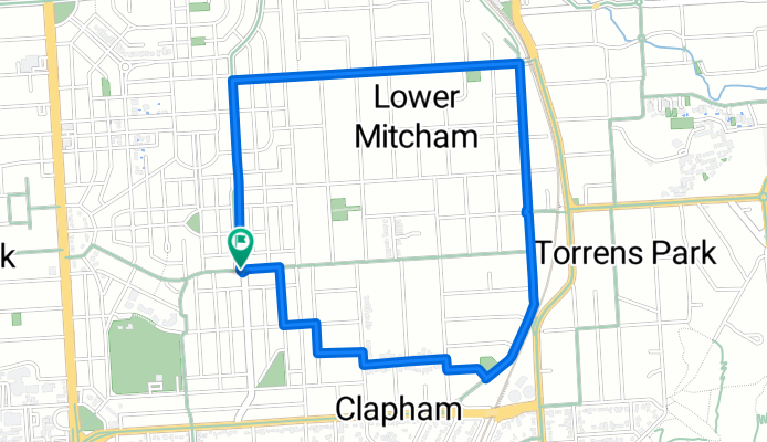
- Clapham, South Australia, Australia
A cycling route starting in Clapham, South Australia, Australia.
Overview
Go up a nice hilly bit and then down a nice smooth road where you can pick up some speed.
Route quality
Quiet road
2.4 km
59 %
Road
1.7 km
41 %
Paved
4.1 km
(100 %)
Asphalt
4 km
99 %
Paved (undefined)
0 km
1 %
Continue with Bikemap
You would like to ride Colonel Light Gardens/Clapham Loop or customize it for your own trip? Here is what you can do with this Bikemap route:
Free trial for 3 days, or one-time payment. More about Bikemap Premium.
Discover more Premium features.
Get Bikemap PremiumFrom our community
Open it in the app


