Jalan Hasanudin, Bandung to Jalan Sanggar Kencana 17, Bandung
- 12 km
- 50 m
- 129 m
- Bandung, West Java, Indonesia
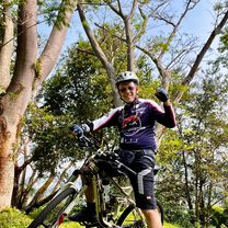
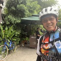
GoMet BaseCamp to Horison
Rute dingin untuk para GoMet-er dan Kaum MatadorGoMet, BaseCamp para GoMeter dan Kaum Matador
bubu I am
Free trial for 3 days, or one-time payment. More about Bikemap Premium.
Discover more Premium features.
Get Bikemap PremiumOpen it in the app