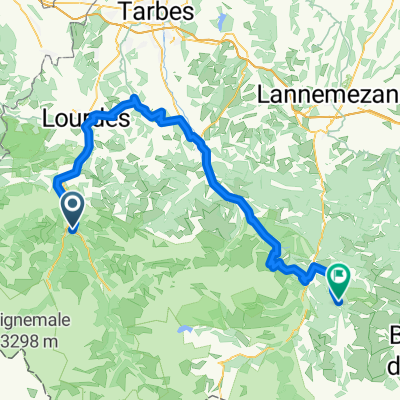
2014 Ride Day 40 - Artalens to Saint-Gaudens
A cycling route starting in Pierrefitte-Nestalas, Occitanie, France.
Overview
About this route
Overall good riding, but this was a route for covering distance rather than tranquil riding. D938 east of its intersection with D20 was very nice for many kilometers. And D921 had an excellent bike lane.
- -:--
- Duration
- 104.4 km
- Distance
- 798 m
- Ascent
- 1,259 m
- Descent
- ---
- Avg. speed
- ---
- Max. altitude
Route quality
Waytypes & surfaces along the route
Waytypes
Road
10.4 km
(10 %)
Cycleway
9.4 km
(9 %)
Surfaces
Paved
57.4 km
(55 %)
Unpaved
1 km
(1 %)
Asphalt
57.4 km
(55 %)
Ground
1 km
(1 %)
Undefined
45.9 km
(44 %)
Continue with Bikemap
Use, edit, or download this cycling route
You would like to ride 2014 Ride Day 40 - Artalens to Saint-Gaudens or customize it for your own trip? Here is what you can do with this Bikemap route:
Free features
- Save this route as favorite or in collections
- Copy & plan your own version of this route
- Split it into stages to create a multi-day tour
- Sync your route with Garmin or Wahoo
Premium features
Free trial for 3 days, or one-time payment. More about Bikemap Premium.
- Navigate this route on iOS & Android
- Export a GPX / KML file of this route
- Create your custom printout (try it for free)
- Download this route for offline navigation
Discover more Premium features.
Get Bikemap PremiumFrom our community
Other popular routes starting in Pierrefitte-Nestalas
pierrafite gavarnie circ tromouse pierrafite- Distance
- 119 km
- Ascent
- 2,762 m
- Descent
- 2,762 m
- Location
- Pierrefitte-Nestalas, Occitanie, France
Cauterets, port d'Espagne- Distance
- 17.9 km
- Ascent
- 1,070 m
- Descent
- 89 m
- Location
- Pierrefitte-Nestalas, Occitanie, France
3. Etape traversée des Pyrenées 2013- Distance
- 108.6 km
- Ascent
- 3,145 m
- Descent
- 3,060 m
- Location
- Pierrefitte-Nestalas, Occitanie, France
Tour de France 08, Étape 10: Pau - Hautacam- Distance
- 98.9 km
- Ascent
- 2,346 m
- Descent
- 2,346 m
- Location
- Pierrefitte-Nestalas, Occitanie, France
4. Etape traversée des Pyrenées 2011- Distance
- 108.8 km
- Ascent
- 3,044 m
- Descent
- 2,957 m
- Location
- Pierrefitte-Nestalas, Occitanie, France
TA21-5- Distance
- 144.9 km
- Ascent
- 3,452 m
- Descent
- 3,126 m
- Location
- Pierrefitte-Nestalas, Occitanie, France
*09-D. Pierrefitte-Nestalas - Superbagneres (128 Km)- Distance
- 128 km
- Ascent
- 5,034 m
- Descent
- 3,708 m
- Location
- Pierrefitte-Nestalas, Occitanie, France
Day 3 - Coast to Coast- Distance
- 107.1 km
- Ascent
- 3,028 m
- Descent
- 2,863 m
- Location
- Pierrefitte-Nestalas, Occitanie, France
Open it in the app


