

Most - Stropník - Most
A cycling route starting in Most, Ústecký kraj, Czechia.
Overview
About this route
1
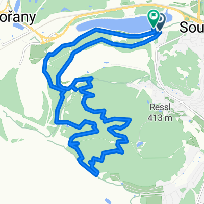
Most,Braňany,M.Radčice,Lom,Horní Lom,Loučná,směr Dlouhá Louka,po vrstevnici nad zříceninou hradu Rýzmburk,rozcestí pod Stropníkem,Davydova vyhlídka, Veklá mýť( ?),Dlouhá Louka,směr fláje,Žebrácký roh,Horní ves( Český Jiřetín ),Flájská přehrada,Černý rybník,Klíny,Litvínov,Záluží,Most.
- -:--
- Duration
- 79.8 km
- Distance
- 1,028 m
- Ascent
- 1,028 m
- Descent
- ---
- Avg. speed
- ---
- Max. altitude
Vladimír
created this 12 years ago
Continue with Bikemap
Use, edit, or download this cycling route
You would like to ride Most - Stropník - Most or customize it for your own trip? Here is what you can do with this Bikemap route:
Free features
- Save this route as favorite or in collections
- Copy & plan your own version of this route
- Sync your route with Garmin or Wahoo
Premium features
Free trial for 3 days, or one-time payment. More about Bikemap Premium.
- Navigate this route on iOS & Android
- Export a GPX / KML file of this route
- Create your custom printout (try it for free)
- Download this route for offline navigation
Discover more Premium features.
Get Bikemap PremiumFrom our community
Other popular routes starting in Most


Open it in the app