Kellerstraße, Florstadt nach Hohlwingertstraße, Florstadt
- 33.8 km
- 344 m
- 345 m
- Ranstadt, Hesse, Germany
A cycling route starting in Ranstadt, Hesse, Germany.
Overview
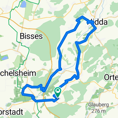
Starting in Dauernheim, the route passes the old rock cellars and the beautiful church before reaching the village exit. From there, it follows a bike path along the federal highway to Ranstadt. After crossing Ranstadt, just outside the village, the route takes a somewhat steeper gravel and forest path leading up to the highest point of the tour. At the top, it continues downhill until it reaches the federal highway, which unfortunately must be used for about 150 meters before turning right onto another bike path descending towards Effolderbach. After passing through Effolderbach, the route follows a short gravel road and then a very beautiful bike path through lovely nature all the way to Lindheim. In Lindheim, as along the way, there is the option to rest or stop for a pleasant break. From Lindheim, the route continues through nature to the mill ponds and then on to Rodenbach. Here starts the second, more challenging climb directly along a very lightly trafficked country road to Stammheim. After a great descent, upon arriving in Stammheim, the route briefly follows the main road until the village exit, then continues on a lovely bike path through nature to Staden. Here too the road is briefly used before the final 8 km run through a nature reserve with views of beautiful birdlife, bringing the scenic tour to a close at the start/finish point in Dauernheim.
created this 11 years ago
Route quality
Track
16.9 km
(59 %)
Quiet road
4.9 km
(17 %)
Paved
25.2 km
(88 %)
Unpaved
3.2 km
(11 %)
Asphalt
24.6 km
(86 %)
Gravel
3.2 km
(11 %)
Continue with Bikemap
You would like to ride 29km Dauernheim-Lindheim-Rundweg or customize it for your own trip? Here is what you can do with this Bikemap route:
Free trial for 3 days, or one-time payment. More about Bikemap Premium.
Discover more Premium features.
Get Bikemap PremiumFrom our community
Open it in the app