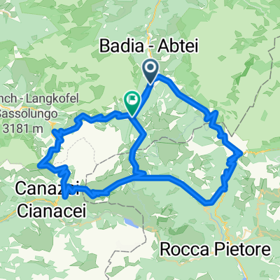
140 Maraton DOLOMITI
- 144.1 km
- 5,971 m
- 5,870 m
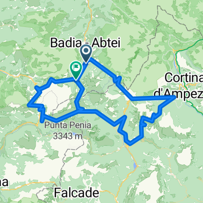
- Abtei-Badia, Trentino-Alto Adige, Italy
A cycling route starting in Abtei-Badia, Trentino-Alto Adige, Italy.
Overview
THe best cyclosportive in Europe? Amazing day cycling in the Dolomites.
created this 11 years ago
Route quality
Track
8.1 km
6 %
Quiet road
5.4 km
4 %
Paved
120.3 km
(89 %)
Unpaved
8.1 km
(6 %)
Asphalt
120.3 km
89 %
Unpaved (undefined)
5.4 km
4 %
Route highlights
Passo Pordoi
Passo Sella
Passo Gardena
Passo Campolongo
Passo Giau
Passo Falzarego
Passo Valparola
il muro del gatto
Continue with Bikemap
You would like to ride Maratona dles Dolomites or customize it for your own trip? Here is what you can do with this Bikemap route:
Free trial for 3 days, or one-time payment. More about Bikemap Premium.
Discover more Premium features.
Get Bikemap PremiumFrom our community
Open it in the app