EU 24 _ Saint Satur - Nevers _ 69 km
- 69 km
- 74 m
- 30 m
- Saint-Satur, Centre-Val de Loire, France
A cycling route starting in Saint-Satur, Centre-Val de Loire, France.
Overview
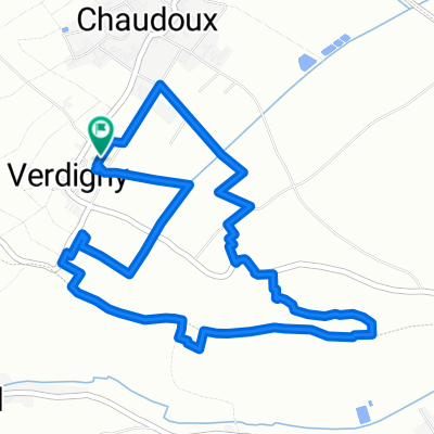
Saint Satur - Bannay - Lere - Boulleret - Saint Satur
Route quality
Quiet road
23 km
(52 %)
Track
5.3 km
(12 %)
Paved
6.2 km
(14 %)
Unpaved
2.2 km
(5 %)
Asphalt
6.2 km
(14 %)
Gravel
1.8 km
(4 %)
Continue with Bikemap
You would like to ride Saint Satur - Bannay - Lere - Boulleret - Saint Satur or customize it for your own trip? Here is what you can do with this Bikemap route:
Free trial for 3 days, or one-time payment. More about Bikemap Premium.
Discover more Premium features.
Get Bikemap PremiumFrom our community
Open it in the app