Day 7 - Alpe d'Huez, Col Du Sabot, Glandon
- 80.9 km
- 3,674 m
- 4,932 m
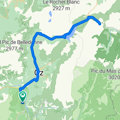
- Huez, Auvergne-Rhône-Alpes, France
A cycling route starting in Huez, Auvergne-Rhône-Alpes, France.
Overview
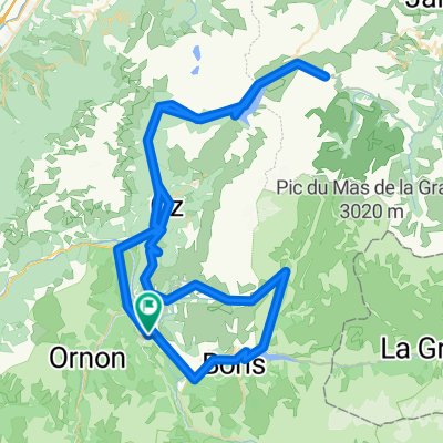
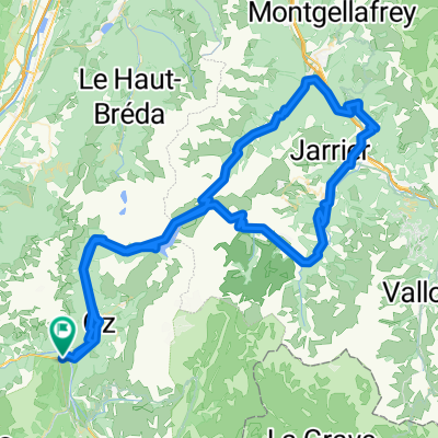
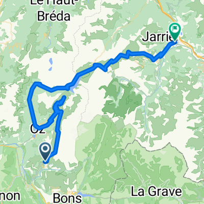
Start: Oz
Col des Luitel
Chamrousse
Col des Moulles
End: Crolles
created this 11 years ago
Route quality
Road
20.9 km
(21 %)
Quiet road
7 km
(7 %)
Paved
55.8 km
(56 %)
Unpaved
1 km
(1 %)
Asphalt
51.8 km
(52 %)
Paved (undefined)
4 km
(4 %)
Route highlights

Auberge La Cure Adresse: Le village, 38114 Oz, Frankreich Telefon:+33 4 76 79 89 27

Blick auf den Lac du Vernay

Col des Luitel (1262m)

Chamrousse, 1750m

Caffee

Route du Balcon de Belledonne

Route du Balcon de Belledonne

Col des Mouilles, 1020m

Pradotel Adresse: 755 Avenue Ambroise Croizat, 38920 Crolles, Frankreich Telefon:+33 4 76 92 84 84
Continue with Bikemap
You would like to ride Rhone-Alpes: Etappe 4 or customize it for your own trip? Here is what you can do with this Bikemap route:
Free trial for 3 days, or one-time payment. More about Bikemap Premium.
Discover more Premium features.
Get Bikemap PremiumFrom our community
Open it in the app