O Vers..... PUYCELCI 2019
- 125.7 km
- 1,646 m
- 1,713 m
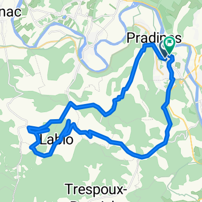
- Pradines, Occitanie, France
A cycling route starting in Pradines, Occitanie, France.
Overview
A relaxing short distance on mostly excellent low-traffic roads. Scenery mostly acceptable though not spectacular as we often have.
created this 11 years ago
Route quality
Road
5.2 km
8 %
Quiet road
2.6 km
4 %
Paved
33.9 km
(52 %)
Unpaved
0.7 km
(1 %)
Asphalt
33.9 km
52 %
Gravel
0.7 km
1 %
Undefined
30.6 km
47 %
Continue with Bikemap
You would like to ride 2014 Ride Day 90 - Cahors to Sarlat-la-Canéda or customize it for your own trip? Here is what you can do with this Bikemap route:
Free trial for 3 days, or one-time payment. More about Bikemap Premium.
Discover more Premium features.
Get Bikemap PremiumFrom our community
Open it in the app