

Pěší pochod Rytíře Zbyhoně (18km)
A cycling route starting in Mostek, Královéhradecký kraj, Czechia.
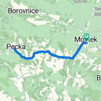
Overview
About this route
<p>
<strong>TRAIL DESCRIPTION</strong></p>
<p>
Start at the cultural house in Úhlejov, then along the local road southwest to the settlement of Brodek, here right to the end of the village and along the forest path to Chroustovska Skala. Here along the road to the village of Chroustov and at the fire station left to the end of the village. Here a field road to the settlement of Lukaveček, where we continue left over the stream uphill to the village of Borek.</p>
<p>
In Borek at the bell tower we turn right to the end of the village and then along the field road to the stone cross. Here we take the right onto the red tourist sign along the field road to the tourist crossroads before the village of Zvičina, then along the road to the summit of ZVIČINA and on the red tourist sign through the forest eastward around Masarik's spring to the hotel Pod Zvičinou.</p>
<p>
From this point the route continues uphill southwest on the red tourist sign to Zvičinské saddle and here on the blue tourist sign south to the village of Třebihošť to the restaurant U Lípy.</p>
<p>
From this point right along the road around the local cemetery to Šušpárek - to the site of the former stone castle of knight Zbyhoně and further to the intersection in the settlement of Brodek. Here we turn right to the goal at the cultural house.</p>
Translated, show original (Polish)- -:--
- Duration
- 17.7 km
- Distance
- 443 m
- Ascent
- 441 m
- Descent
- ---
- Avg. speed
- ---
- Max. altitude
Continue with Bikemap
Use, edit, or download this cycling route
You would like to ride Pěší pochod Rytíře Zbyhoně (18km) or customize it for your own trip? Here is what you can do with this Bikemap route:
Free features
- Save this route as favorite or in collections
- Copy & plan your own version of this route
- Sync your route with Garmin or Wahoo
Premium features
Free trial for 3 days, or one-time payment. More about Bikemap Premium.
- Navigate this route on iOS & Android
- Export a GPX / KML file of this route
- Create your custom printout (try it for free)
- Download this route for offline navigation
Discover more Premium features.
Get Bikemap PremiumFrom our community
Other popular routes starting in Mostek
 Pecka2
- Distance
- 16.3 km
- Ascent
- 265 m
- Descent
- 265 m
- Location
- Mostek, Královéhradecký kraj, Czechia
 Cyklotrasa Rytíře Zbyhoně (25km)
- Distance
- 25.3 km
- Ascent
- 375 m
- Descent
- 373 m
- Location
- Mostek, Královéhradecký kraj, Czechia
 Pěší pochod Rytíře Zbyhoně (23km)
- Distance
- 23 km
- Ascent
- 499 m
- Descent
- 499 m
- Location
- Mostek, Královéhradecký kraj, Czechia
 Cyklotrasa Rytíře Zbyhoně (38km)
- Distance
- 40.9 km
- Ascent
- 679 m
- Descent
- 678 m
- Location
- Mostek, Královéhradecký kraj, Czechia
 Pěší pochod Rytíře Zbyhoně (18km)
- Distance
- 17.7 km
- Ascent
- 443 m
- Descent
- 441 m
- Location
- Mostek, Královéhradecký kraj, Czechia
 400 ultra
- Distance
- 345.4 km
- Ascent
- 10,499 m
- Descent
- 10,499 m
- Location
- Mostek, Královéhradecký kraj, Czechia
 Cyklotrasa Rytíře Zbyhoně (50km)
- Distance
- 47.3 km
- Ascent
- 472 m
- Descent
- 472 m
- Location
- Mostek, Královéhradecký kraj, Czechia
 Pěší pochod Rytíře Zbyhoně (18km)
- Distance
- 19.7 km
- Ascent
- 408 m
- Descent
- 408 m
- Location
- Mostek, Královéhradecký kraj, Czechia
Open it in the app