
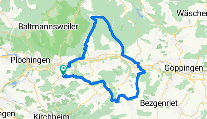
Hochdorf-Baiereck-Sparwiesen-Hochdorf
A cycling route starting in Hochdorf, Baden-Wurttemberg, Germany.
Overview
About this route
<p>Relatively relaxed sightseeing tour through Nassach Valley and the Alb Foothills</p>
<p>(cloned from route 2331045)</p>
Translated, show original (German)- -:--
- Duration
- 35.4 km
- Distance
- 483 m
- Ascent
- 482 m
- Descent
- ---
- Avg. speed
- ---
- Max. altitude
Route quality
Waytypes & surfaces along the route
Waytypes
Track
17 km
(48 %)
Road
8.8 km
(25 %)
Surfaces
Paved
26.9 km
(76 %)
Unpaved
5 km
(14 %)
Asphalt
22.3 km
(63 %)
Gravel
5 km
(14 %)
Continue with Bikemap
Use, edit, or download this cycling route
You would like to ride Hochdorf-Baiereck-Sparwiesen-Hochdorf or customize it for your own trip? Here is what you can do with this Bikemap route:
Free features
- Save this route as favorite or in collections
- Copy & plan your own version of this route
- Sync your route with Garmin or Wahoo
Premium features
Free trial for 3 days, or one-time payment. More about Bikemap Premium.
- Navigate this route on iOS & Android
- Export a GPX / KML file of this route
- Create your custom printout (try it for free)
- Download this route for offline navigation
Discover more Premium features.
Get Bikemap PremiumFrom our community
Other popular routes starting in Hochdorf
 edeka
edeka- Distance
- 8.1 km
- Ascent
- 174 m
- Descent
- 167 m
- Location
- Hochdorf, Baden-Wurttemberg, Germany
 Deutschland Süd Nord
- Distance
- 957.2 km
- Ascent
- 519 m
- Descent
- 808 m
- Location
- Hochdorf, Baden-Wurttemberg, Germany
 Hochdorf-Baiereck-Sparwiesen-Hochdorf
- Distance
- 35.4 km
- Ascent
- 464 m
- Descent
- 463 m
- Location
- Hochdorf, Baden-Wurttemberg, Germany
 Rundtour-Hochdorf-Plochingen-Wernau Wendlingen-Kirchheim-Ohmden-Schlierbach-Ebersbach/Fils-Weiler-Roßwälden-Hochdorf
- Distance
- 49.2 km
- Ascent
- 359 m
- Descent
- 359 m
- Location
- Hochdorf, Baden-Wurttemberg, Germany
 Hochdorf-Baiereck-Sparwiesen-Hochdorf
- Distance
- 35.4 km
- Ascent
- 483 m
- Descent
- 482 m
- Location
- Hochdorf, Baden-Wurttemberg, Germany
 20160312_024655.gpx
- Distance
- 63.5 km
- Ascent
- 490 m
- Descent
- 347 m
- Location
- Hochdorf, Baden-Wurttemberg, Germany
 edeka
edeka- Distance
- 3.9 km
- Ascent
- 69 m
- Descent
- 65 m
- Location
- Hochdorf, Baden-Wurttemberg, Germany
 Zum Schwäbischen Meer
- Distance
- 147 km
- Ascent
- 1,826 m
- Descent
- 1,594 m
- Location
- Hochdorf, Baden-Wurttemberg, Germany
Open it in the app