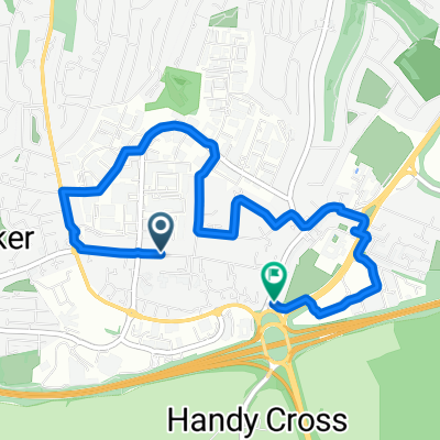
High Wycombe: The Fawley Chilterns Loop
A cycling route starting in High Wycombe, England, United Kingdom.
Overview
About this route
It's a mixture of long hills, steep hills and rolling flats. Some of the paving on Marlow road is poor so ride in the middle at these sections. Also, the ascents on Henley road have bad sections too. Take care riding through Fawley, it is a single track road with patches of bad paving and a wicked descent.
This route takes around 2 hours to complete.
- -:--
- Duration
- 62.1 km
- Distance
- 541 m
- Ascent
- 541 m
- Descent
- ---
- Avg. speed
- ---
- Avg. speed
Continue with Bikemap
Use, edit, or download this cycling route
You would like to ride High Wycombe: The Fawley Chilterns Loop or customize it for your own trip? Here is what you can do with this Bikemap route:
Free features
- Save this route as favorite or in collections
- Copy & plan your own version of this route
- Sync your route with Garmin or Wahoo
Premium features
Free trial for 3 days, or one-time payment. More about Bikemap Premium.
- Navigate this route on iOS & Android
- Export a GPX / KML file of this route
- Create your custom printout (try it for free)
- Download this route for offline navigation
Discover more Premium features.
Get Bikemap PremiumFrom our community
Other popular routes starting in High Wycombe
- Sunday Spin
- Distance
- 32.5 km
- Ascent
- 291 m
- Descent
- 291 m
- Location
- High Wycombe, England, United Kingdom
- HW40k
- Distance
- 40.6 km
- Ascent
- 350 m
- Descent
- 350 m
- Location
- High Wycombe, England, United Kingdom
- Koti HW Bike Route
- Distance
- 24.6 km
- Ascent
- 233 m
- Descent
- 233 m
- Location
- High Wycombe, England, United Kingdom
- ride through High Wycombe
- Distance
- 24 km
- Ascent
- 233 m
- Descent
- 233 m
- Location
- High Wycombe, England, United Kingdom
- Cadmore end to marlow
- Distance
- 32.4 km
- Ascent
- 321 m
- Descent
- 331 m
- Location
- High Wycombe, England, United Kingdom
- sunday ride
- Distance
- 92.8 km
- Ascent
- 546 m
- Descent
- 665 m
- Location
- High Wycombe, England, United Kingdom
- Little Kingshill & Speen Loop
- Distance
- 18.8 km
- Ascent
- 209 m
- Descent
- 213 m
- Location
- High Wycombe, England, United Kingdom
- Eton Loop
- Distance
- 66.7 km
- Ascent
- 412 m
- Descent
- 409 m
- Location
- High Wycombe, England, United Kingdom
Open it in the app