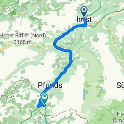
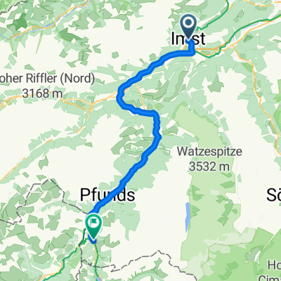
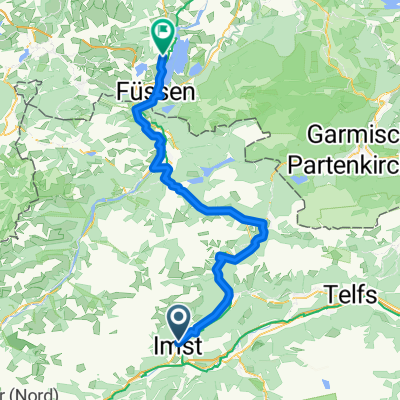
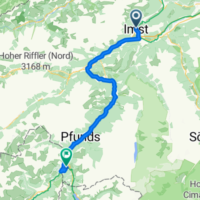
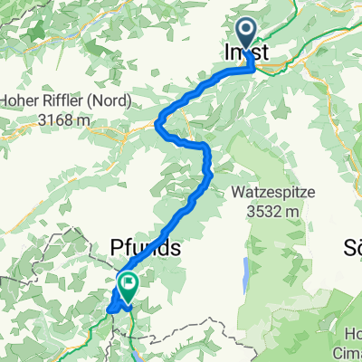
Alpenpässe-Warmfahrrunde
A cycling route starting in Imst, Tyrol, Austria.
Overview
About this route
Schöne, straßenradtaugliche Passtour durch die Alpen mit steilen Anstiegen und rasanten Abfahrten durch Österreich, Schweiz und Italien!
- -:--
- Duration
- 278.5 km
- Distance
- 4,462 m
- Ascent
- 3,826 m
- Descent
- ---
- Avg. speed
- 1,568 m
- Avg. speed
Route quality
Waytypes & surfaces along the route
Waytypes
Busy road
128.3 km
(46 %)
Quiet road
54.4 km
(20 %)
Surfaces
Paved
241.8 km
(87 %)
Unpaved
16 km
(6 %)
Asphalt
237.2 km
(85 %)
Loose gravel
9.3 km
(3 %)
Route highlights
Points of interest along the route
Point of interest after 4.6 km
Schotterstraße
Point of interest after 20.4 km
Pillerhöhe (1558 m)
Point of interest after 48.1 km
Ende der 1. Etappe: Übernachtung in Pfunds
Point of interest after 48.5 km
Kirche mit Dorfbrunnen
Point of interest after 65.4 km
Norbertshöhe (1461 m)
Point of interest after 77.5 km
Kirche im Reschensee
Point of interest after 86 km
rasante Abfahrt (gefährlich eng)
Point of interest after 118.5 km
durch die Apfelplantagen im Merantal
Point of interest after 163.5 km
Ende der 2. Etappe: Übernachtung in Meran http://www.schoenbrunn.it/
Point of interest after 183.8 km
Auffahrt von St. Leonard zum Timmelsjoch
Point of interest after 212.6 km
Timmelsjoch (2509 m)
Point of interest after 213.7 km
rasante Abfahrt
Point of interest after 218.5 km
Konteranstieg
Point of interest after 222 km
gefährliche Sturzstelle
Point of interest after 223.7 km
Ende der 3. Etappe: Übernachtung in Obergurgl
Point of interest after 246.5 km
langweilige Abfahrt durchs Ötztal
Point of interest after 270.8 km
zäher Anstieg kurz vor Schluss
Continue with Bikemap
Use, edit, or download this cycling route
You would like to ride Alpenpässe-Warmfahrrunde or customize it for your own trip? Here is what you can do with this Bikemap route:
Free features
- Save this route as favorite or in collections
- Copy & plan your own version of this route
- Sync your route with Garmin or Wahoo
Premium features
Free trial for 3 days, or one-time payment. More about Bikemap Premium.
- Navigate this route on iOS & Android
- Export a GPX / KML file of this route
- Create your custom printout (try it for free)
- Download this route for offline navigation
Discover more Premium features.
Get Bikemap PremiumFrom our community
Other popular routes starting in Imst
- Etappe 2 | Imst bis Nauders
- Distance
- 73 km
- Ascent
- 2,187 m
- Descent
- 1,643 m
- Location
- Imst, Tyrol, Austria
- Kühtai
- Distance
- 101.2 km
- Ascent
- 1,672 m
- Descent
- 1,672 m
- Location
- Imst, Tyrol, Austria
- Alpenpässe-Warmfahrrunde
- Distance
- 278.5 km
- Ascent
- 4,462 m
- Descent
- 3,826 m
- Location
- Imst, Tyrol, Austria
- TOUR-Transalp 2011 - 2. Etappe
- Distance
- 146.9 km
- Ascent
- 2,735 m
- Descent
- 2,157 m
- Location
- Imst, Tyrol, Austria
- Fabrikstraße 34, Gemeinde Imst do Kronburg 105, Zammerberg
- Distance
- 13.7 km
- Ascent
- 321 m
- Descent
- 110 m
- Location
- Imst, Tyrol, Austria
- 2010 imst - weer 7.07.10
- Distance
- 89.2 km
- Ascent
- 128 m
- Descent
- 313 m
- Location
- Imst, Tyrol, Austria
- Via Claudia Augusta 4. Imst - Cusio
- Distance
- 89.2 km
- Ascent
- 2,037 m
- Descent
- 1,916 m
- Location
- Imst, Tyrol, Austria
- Ischgl/Hahntennjoch/Nassenreith/Landeck/Ischgl
- Distance
- 101 km
- Ascent
- 2,068 m
- Descent
- 2,072 m
- Location
- Imst, Tyrol, Austria