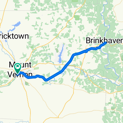
Heart of Ohio Trail, Mount Vernon to Kokosing Gap Trail, Mount Vernon
- 41.1 km
- 189 m
- 190 m
- Mount Vernon, Ohio, United States
A cycling route starting in Mount Vernon, Ohio, United States.
Overview
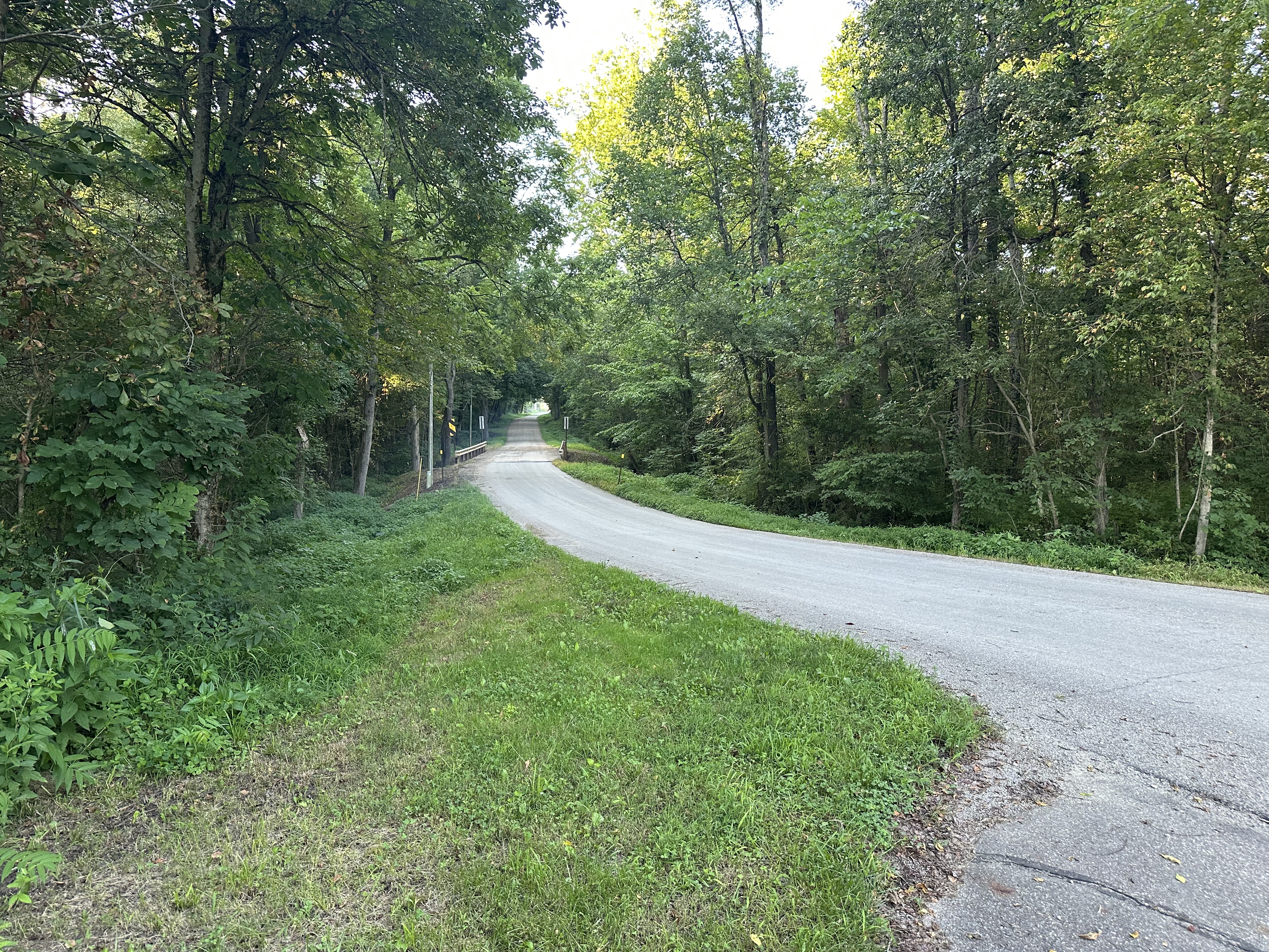
~20 mile loop south of Mt. Vernon and Gambier
created this 10 years ago
Continue with Bikemap
You would like to ride Southern Loop or customize it for your own trip? Here is what you can do with this Bikemap route:
Free trial for 3 days, or one-time payment. More about Bikemap Premium.
Discover more Premium features.
Get Bikemap PremiumFrom our community
Open it in the app