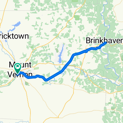
Mt. Vernon to Bridge of Dreams
- 62.8 km
- 130 m
- 130 m
- Mount Vernon, Ohio, United States
A cycling route starting in Mount Vernon, Ohio, United States.
Overview
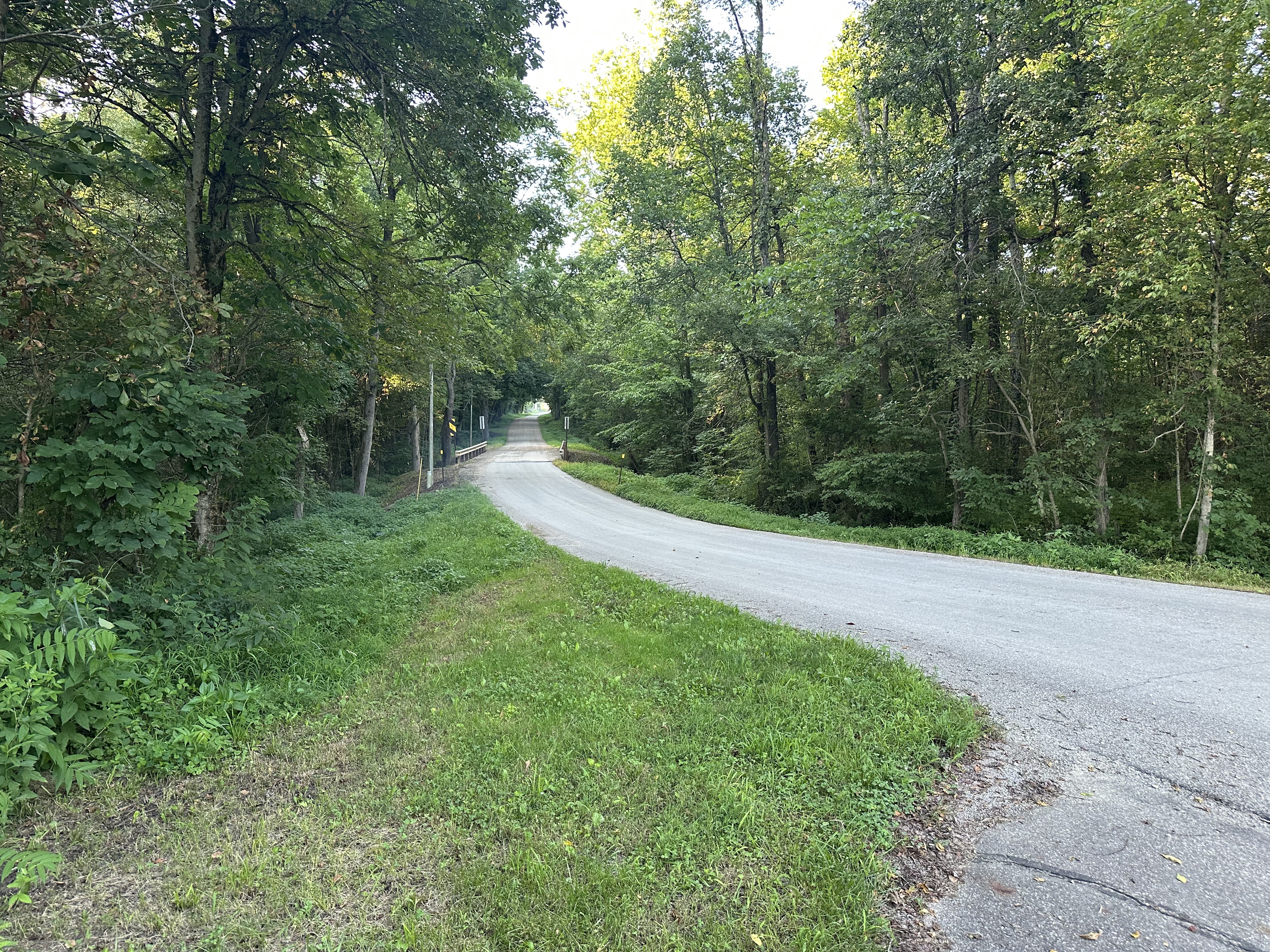
A loop to Bellville and back.
created this 10 years ago
Route quality
Road
32.1 km
(44 %)
Quiet road
21.9 km
(30 %)
Paved
14.6 km
(20 %)
Asphalt
13.9 km
(19 %)
Concrete
0.7 km
(1 %)
Undefined
58.3 km
(80 %)
Route highlights
Home
Continue with Bikemap
You would like to ride North of Mount Vernon loop or customize it for your own trip? Here is what you can do with this Bikemap route:
Free trial for 3 days, or one-time payment. More about Bikemap Premium.
Discover more Premium features.
Get Bikemap PremiumFrom our community
Open it in the app