Preko tri drzave s autom
- 133.4 km
- 1,813 m
- 1,808 m
- Glurns, Trentino-Alto Adige, Italy
A cycling route starting in Glurns, Trentino-Alto Adige, Italy.
Overview
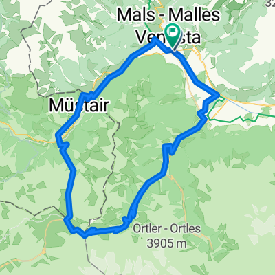
From Glurns over the Madritschjoch (3140m) to Latsch in Vinschgau.
Continue over the Jaufenpass to Sterzing.
created this 10 years ago
Continue with Bikemap
You would like to ride Glurns - Madritschjoch - Latsch. or customize it for your own trip? Here is what you can do with this Bikemap route:
Free trial for 3 days, or one-time payment. More about Bikemap Premium.
Discover more Premium features.
Get Bikemap PremiumFrom our community
Open it in the app