

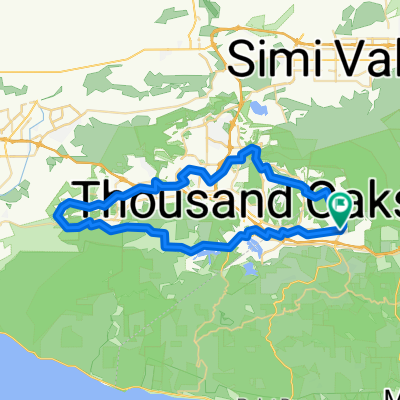
Cheseboro Canyon
A cycling route starting in Agoura, California, United States.
Overview
About this route
Nice loop, Some single track on downhill. Once you make it to Palo Comado Fire Rd then its wide lane again. Gradual decline till end.
- -:--
- Duration
- 14.9 km
- Distance
- 243 m
- Ascent
- 244 m
- Descent
- ---
- Avg. speed
- ---
- Max. altitude

Continue with Bikemap
Use, edit, or download this cycling route
You would like to ride Cheseboro Canyon or customize it for your own trip? Here is what you can do with this Bikemap route:
Free features
- Save this route as favorite or in collections
- Copy & plan your own version of this route
- Sync your route with Garmin or Wahoo
Premium features
Free trial for 3 days, or one-time payment. More about Bikemap Premium.
- Navigate this route on iOS & Android
- Export a GPX / KML file of this route
- Create your custom printout (try it for free)
- Download this route for offline navigation
Discover more Premium features.
Get Bikemap PremiumFrom our community
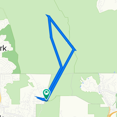
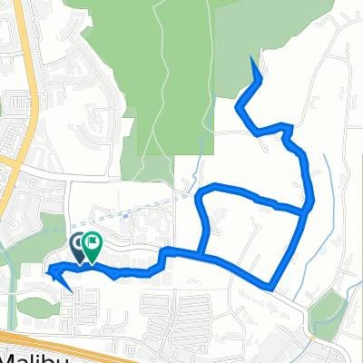
Other popular routes starting in Agoura
 Cheseboro Canyon
- Distance
- 14.9 km
- Ascent
- 243 m
- Descent
- 244 m
- Location
- Agoura, California, United States
 Easy TO loop through Hidden Valley
- Distance
- 61.9 km
- Ascent
- 461 m
- Descent
- 462 m
- Location
- Agoura, California, United States
 Chesbro longer ride
- Distance
- 24.2 km
- Ascent
- 527 m
- Descent
- 527 m
- Location
- Agoura, California, United States
 Chesebro Road 5918, Agoura Hills to Chesebro Road 5918, Agoura Hills
- Distance
- 9.8 km
- Ascent
- 50 m
- Descent
- 18 m
- Location
- Agoura, California, United States
 To Pedalers Fork from Agoura Hills1
- Distance
- 44.6 km
- Ascent
- 459 m
- Descent
- 456 m
- Location
- Agoura, California, United States
 Road2
Road2- Distance
- 6 km
- Ascent
- 139 m
- Descent
- 136 m
- Location
- Agoura, California, United States
 Conejo View Drive 28860, Agoura Hills to Conejo View Drive 28860, Agoura Hills
- Distance
- 23.8 km
- Ascent
- 444 m
- Descent
- 443 m
- Location
- Agoura, California, United States
 Mullholland Highway to Cornell Rd
- Distance
- 21.4 km
- Ascent
- 274 m
- Descent
- 269 m
- Location
- Agoura, California, United States
Open it in the app