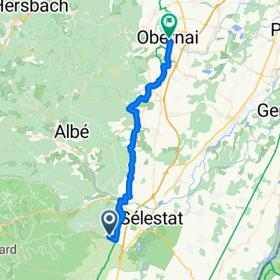
From Sélestat to Obernai
- 35.2 km
- 275 m
- 320 m
- Saint-Hippolyte, Grand Est, France
A cycling route starting in Saint-Hippolyte, Grand Est, France.
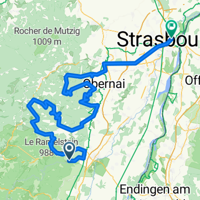
Overview
Reconnaissance for the Sa stage Alsace 08
created this 16 years ago
Continue with Bikemap
You would like to ride Alsace 2008: Champ du Feu or customize it for your own trip? Here is what you can do with this Bikemap route:
Free trial for 3 days, or one-time payment. More about Bikemap Premium.
Discover more Premium features.
Get Bikemap PremiumFrom our community
Open it in the app