

0027 EuroVelo 10 Day 9
A cycling route starting in Kramfors, Västernorrland County, Sweden.
Overview
About this route
Ridden by Stig19.05.2011. Part on E4 with heavy trafic.
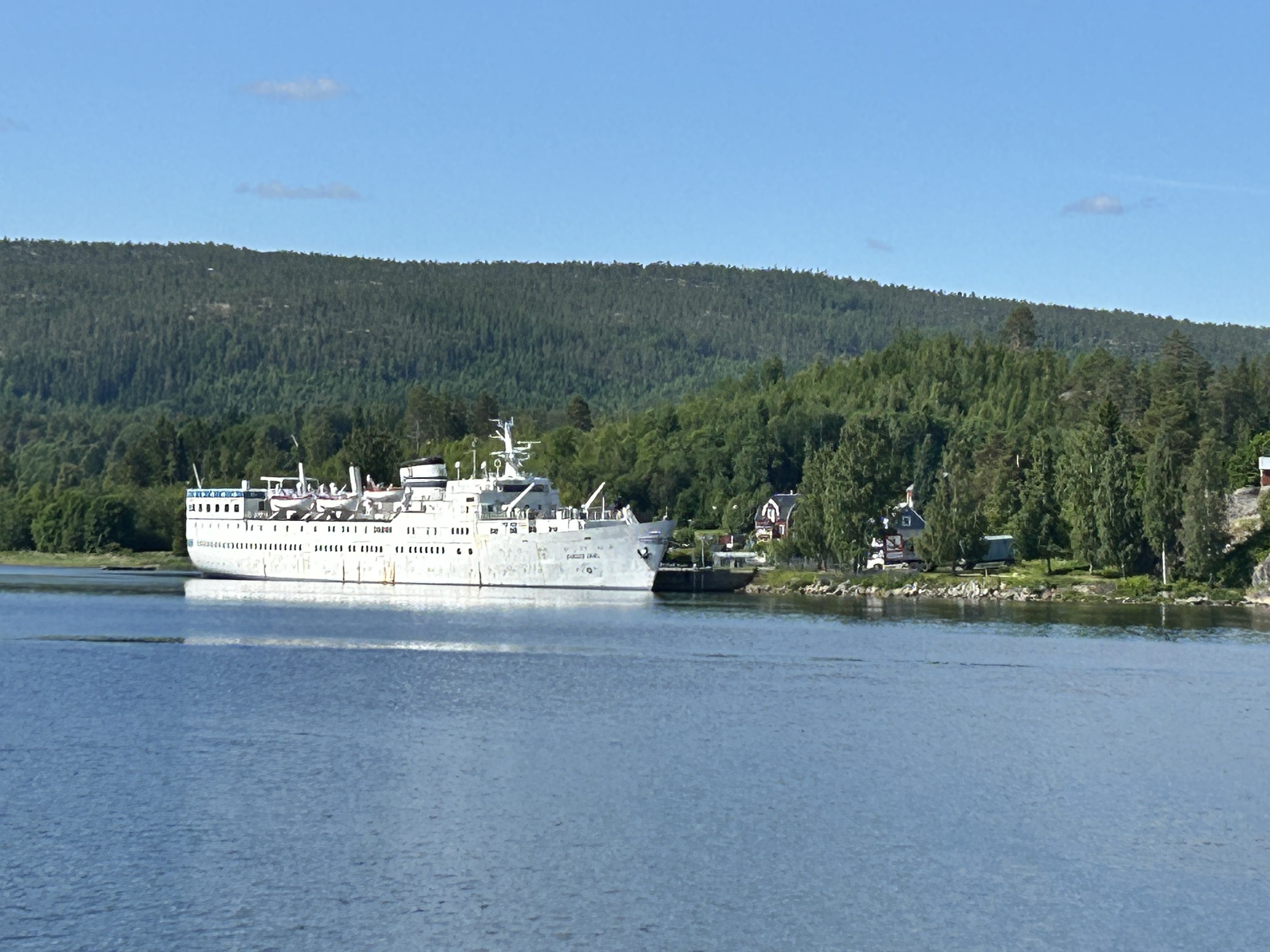
The last 5 km:s on sofrgravel road. The whole roue on Höga kusten.
Actual distane 78,9km
- -:--
- Duration
- 74.9 km
- Distance
- 607 m
- Ascent
- 514 m
- Descent
- ---
- Avg. speed
- ---
- Max. altitude

Route quality
Waytypes & surfaces along the route
Waytypes
Road
32.9 km
(44 %)
Cycleway
15.7 km
(21 %)
Surfaces
Paved
60.6 km
(81 %)
Unpaved
13.5 km
(18 %)
Asphalt
60.6 km
(81 %)
Gravel
7.5 km
(10 %)
Continue with Bikemap
Use, edit, or download this cycling route
You would like to ride 0027 EuroVelo 10 Day 9 or customize it for your own trip? Here is what you can do with this Bikemap route:
Free features
- Save this route as favorite or in collections
- Copy & plan your own version of this route
- Sync your route with Garmin or Wahoo
Premium features
Free trial for 3 days, or one-time payment. More about Bikemap Premium.
- Navigate this route on iOS & Android
- Export a GPX / KML file of this route
- Create your custom printout (try it for free)
- Download this route for offline navigation
Discover more Premium features.
Get Bikemap PremiumFrom our community
Other popular routes starting in Kramfors
 Limstagatan, Kramfors to Limstagatan, Kramfors
- Distance
- 31.2 km
- Ascent
- 358 m
- Descent
- 347 m
- Location
- Kramfors, Västernorrland County, Sweden
 High Coast Trail
- Distance
- 21 km
- Ascent
- 346 m
- Descent
- 381 m
- Location
- Kramfors, Västernorrland County, Sweden
 S26b: Kramfors - Liden
- Distance
- 98.7 km
- Ascent
- 827 m
- Descent
- 722 m
- Location
- Kramfors, Västernorrland County, Sweden
 Gammelvägen 23 naar Kyrkogatan 19
- Distance
- 93.3 km
- Ascent
- 1,290 m
- Descent
- 1,281 m
- Location
- Kramfors, Västernorrland County, Sweden
 Nyadalsvägen 2 nach Nyadalsvägen 302
- Distance
- 5.4 km
- Ascent
- 29 m
- Descent
- 51 m
- Location
- Kramfors, Västernorrland County, Sweden
 Skolvägen 1, Lugnvik to Telemastvägen, Lugnvik
- Distance
- 5.3 km
- Ascent
- 283 m
- Descent
- 39 m
- Location
- Kramfors, Västernorrland County, Sweden
 Storsjövägen 5, Skog to Stationsgatan 27–29, Kramfors
- Distance
- 20 km
- Ascent
- 225 m
- Descent
- 243 m
- Location
- Kramfors, Västernorrland County, Sweden
 S030 Getberget (bei Ramvik) - Sundsvall
- Distance
- 84.4 km
- Ascent
- 543 m
- Descent
- 623 m
- Location
- Kramfors, Västernorrland County, Sweden
Open it in the app